Sierra Nevada de Santa Marta, Colombia

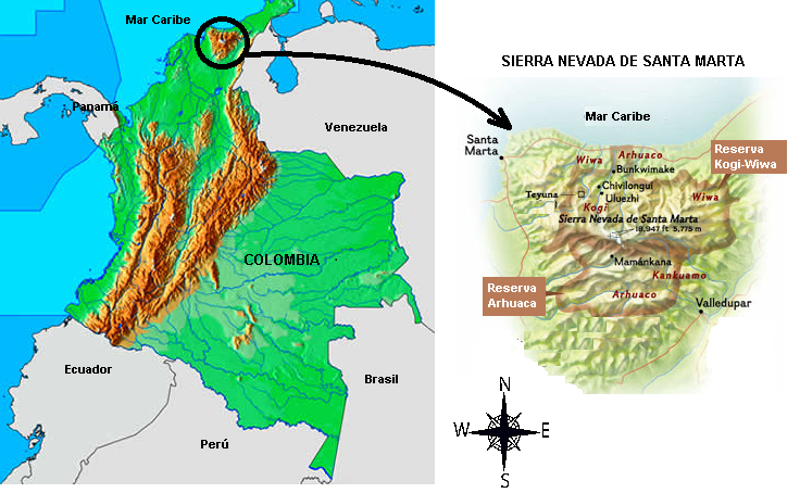
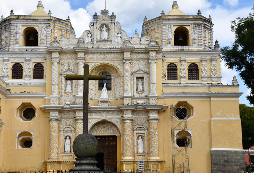
Short excursion into these unique mountains east of Santa Marta Colombia. These are the indigenous homelands of the Arhuachos, and other tribes. Homelands which have been severely whittled down since the Spanish arrival centuries ago. These people fiercely maintain their culture without weapons, but with their minds. They see themselves as the ‘Big Brothers’ of all other people…spiritual guides. Although they would prefer to be left alone, they still mount protests against incursions by oil and mineral companies into their lands. They were trapped in the middle of the FARC/government wars of the past decades. Many were killed. Many were forcibly taken by FARC to act as porters.food gatherers etc. In many ways, it is amazing these people still exist.

Homelands
Arhuacho Man seen at Rio Don Diego

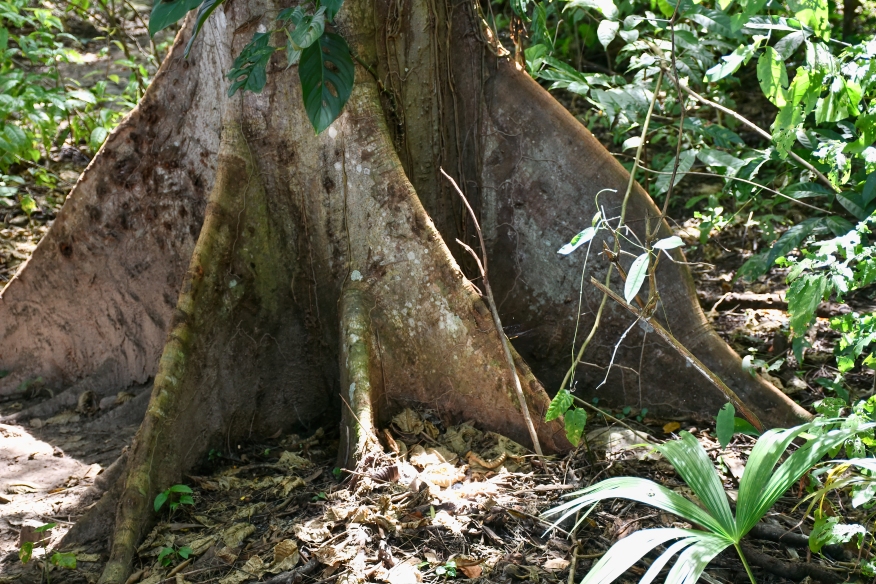
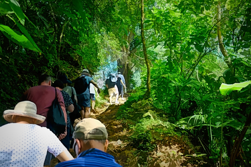
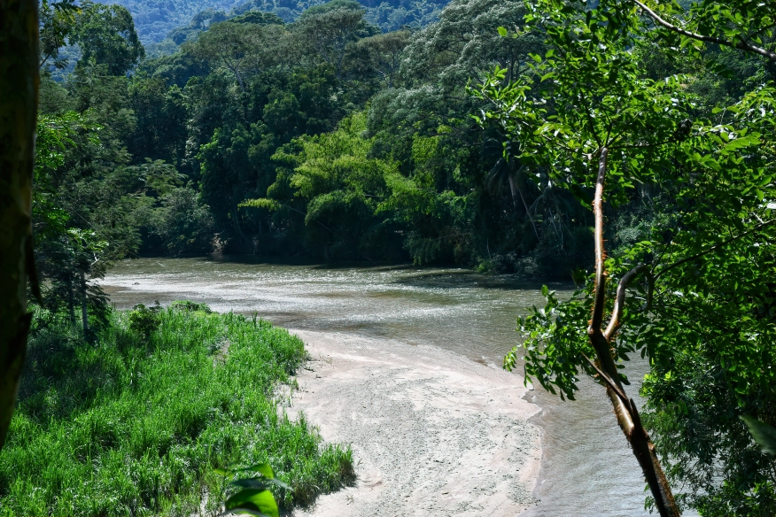
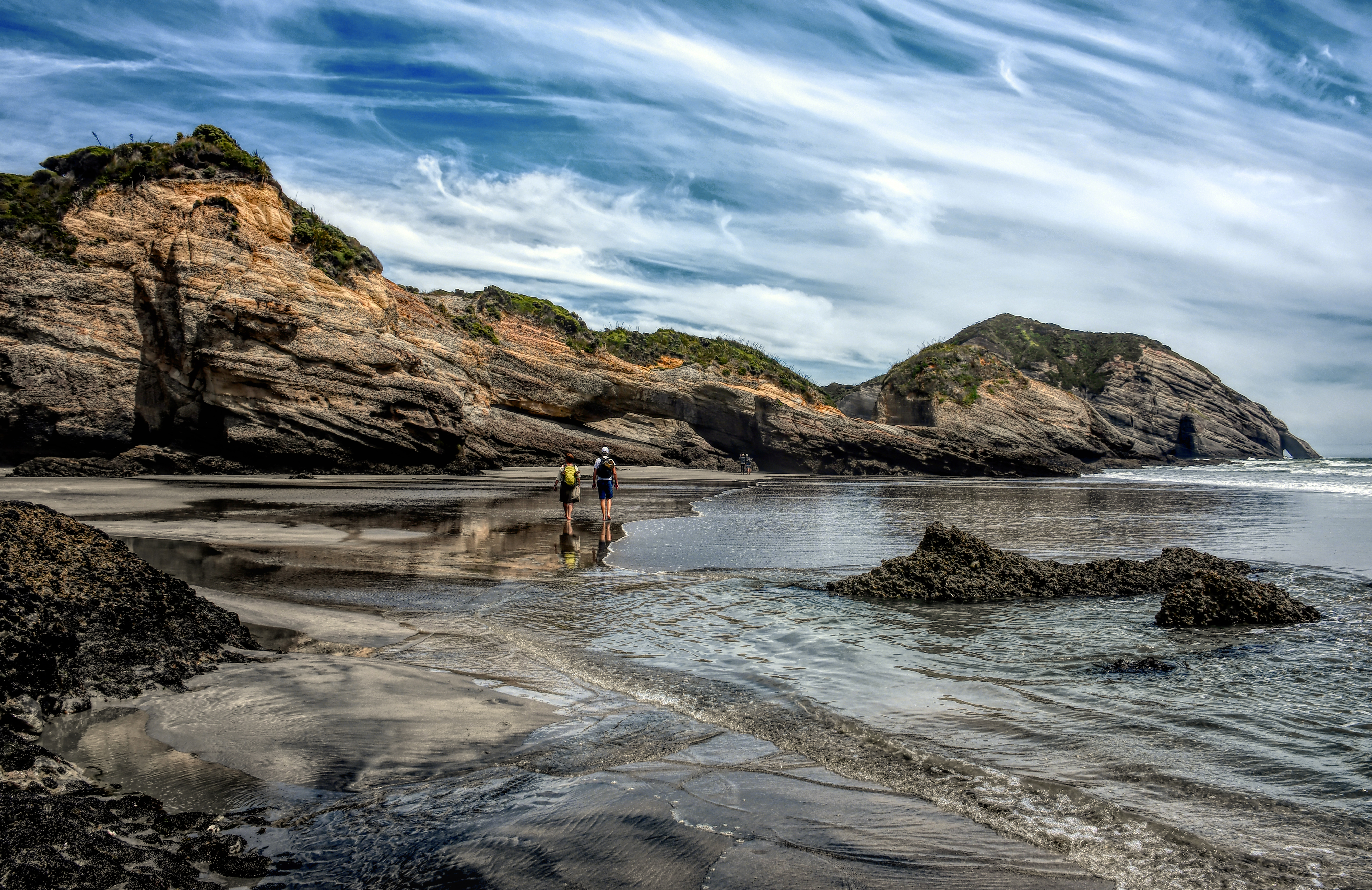
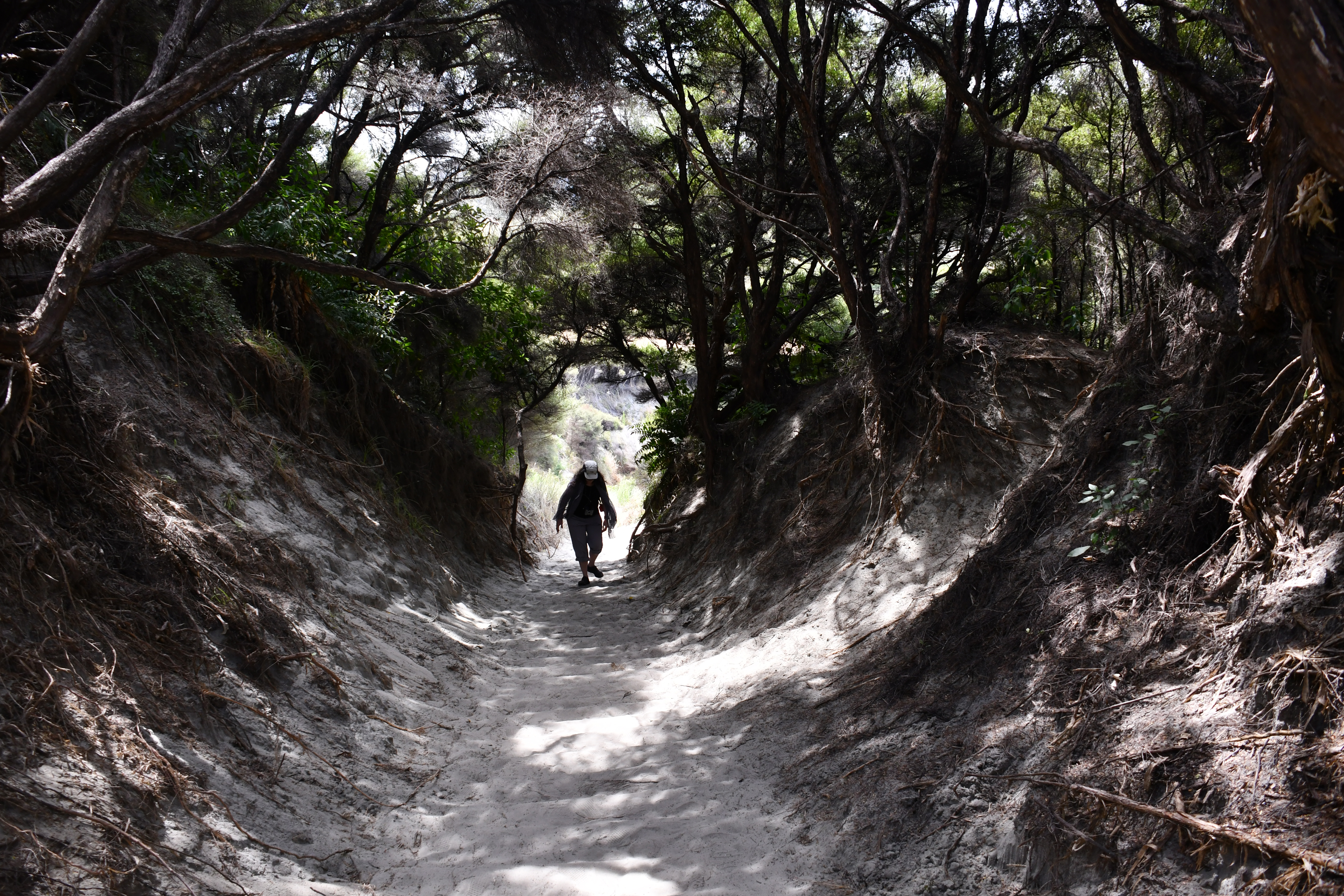
Getting in to the edge of their territory entails merely about a mile and a half hike through protected jungle. The biodiversity is instantly obvious…fruit trees everywhere of many kinds. The forest floor is littered with dead leaves and surprisingly open; At least away from the trail edge where the sun creates massive undergrowth.

Buttresses keep many trees upright. Otherwise roots are shallow in the poor tropical soils.

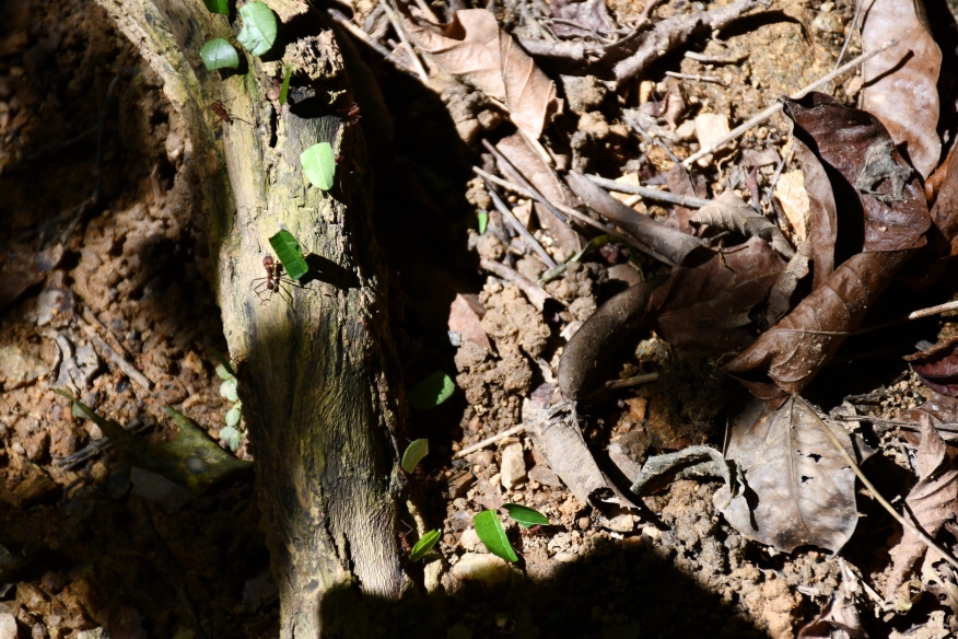
Saw leafcutter ants crossing the trail in a long single line. The leaves are used as a substrate for fungus which feeds the ant population. Fungus farmers.

Pretty big ants. Can cut through your skin if you rile them.

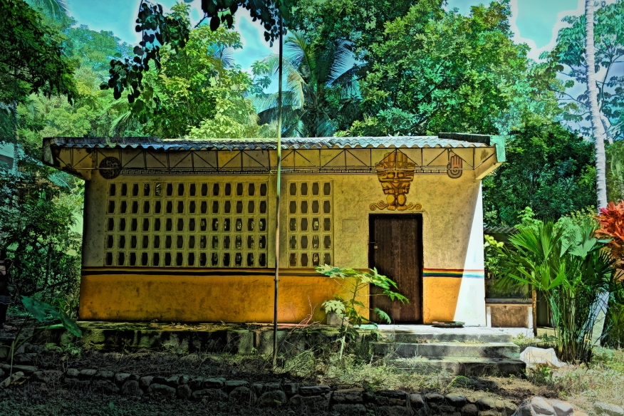
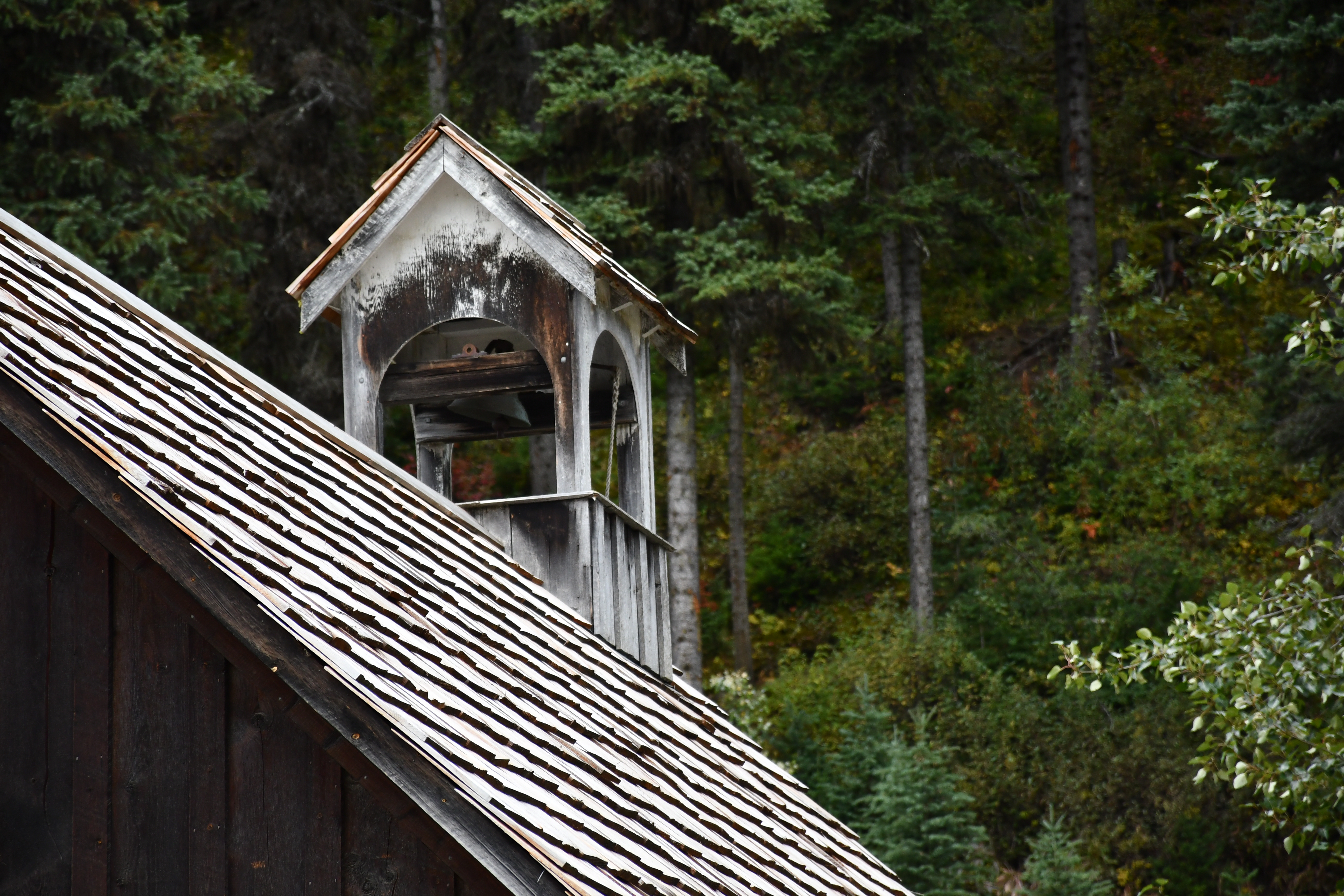
The Colombian government has been attempting to improve literacy by building schools. The indigenous people tend to avoid them because assimilation is not their goal. This little school on a trail (no road nearby) closed 2 years ago because of lack of students.

Abandoned school

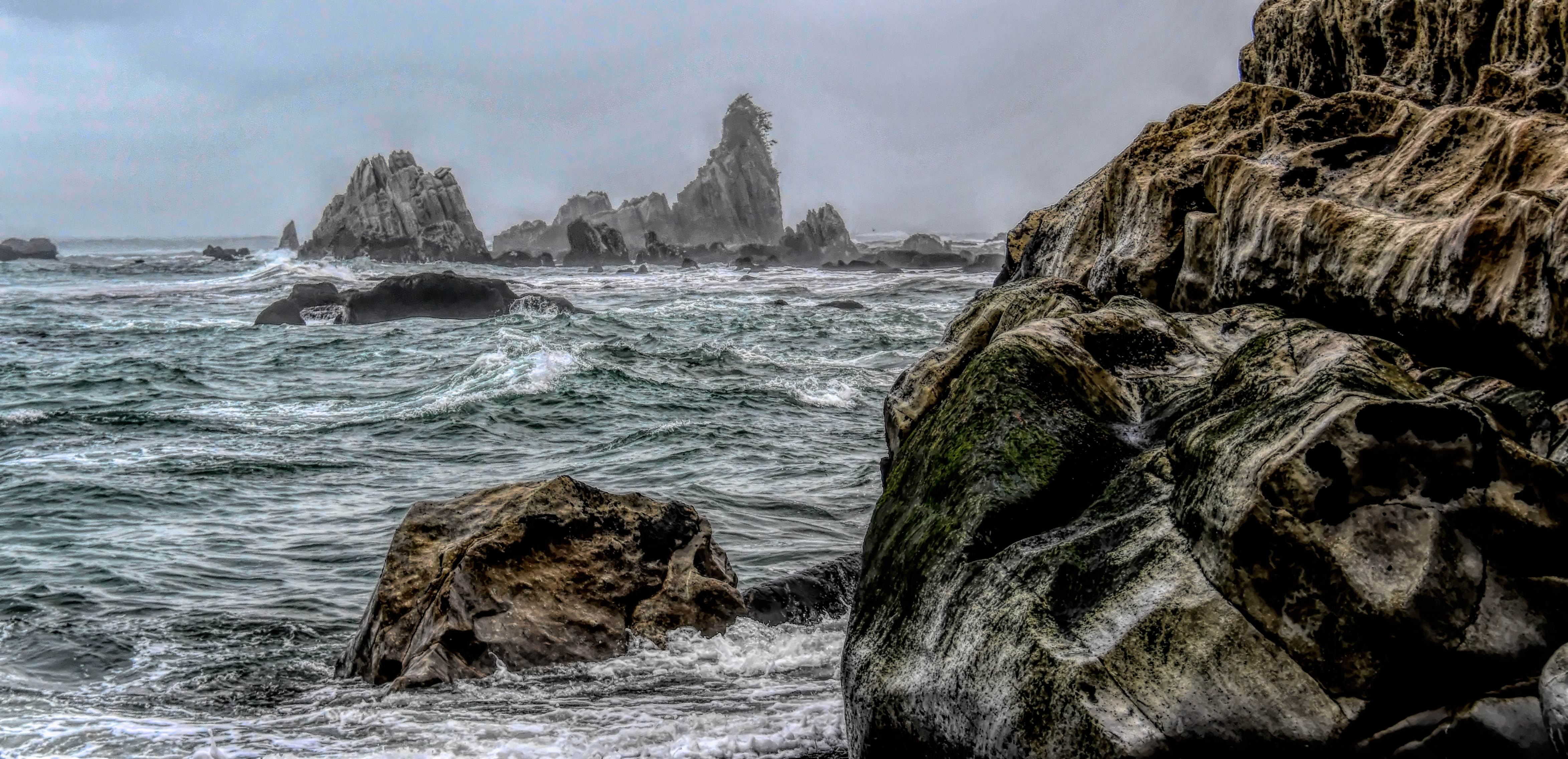
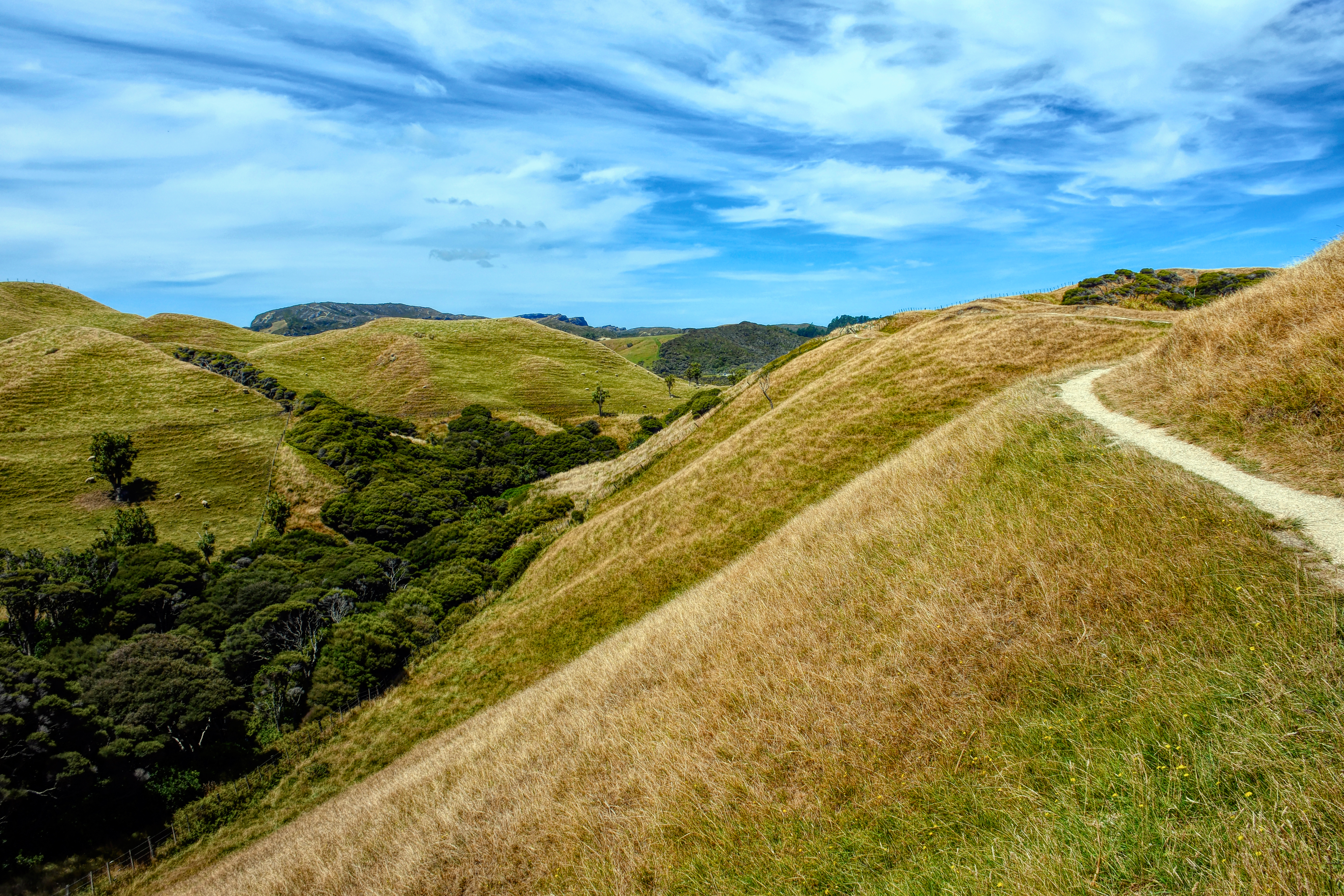
The trail was a bit up and down, with a rocky base that was awkward but not really difficult. Rain would change everything.

Uphill both ways

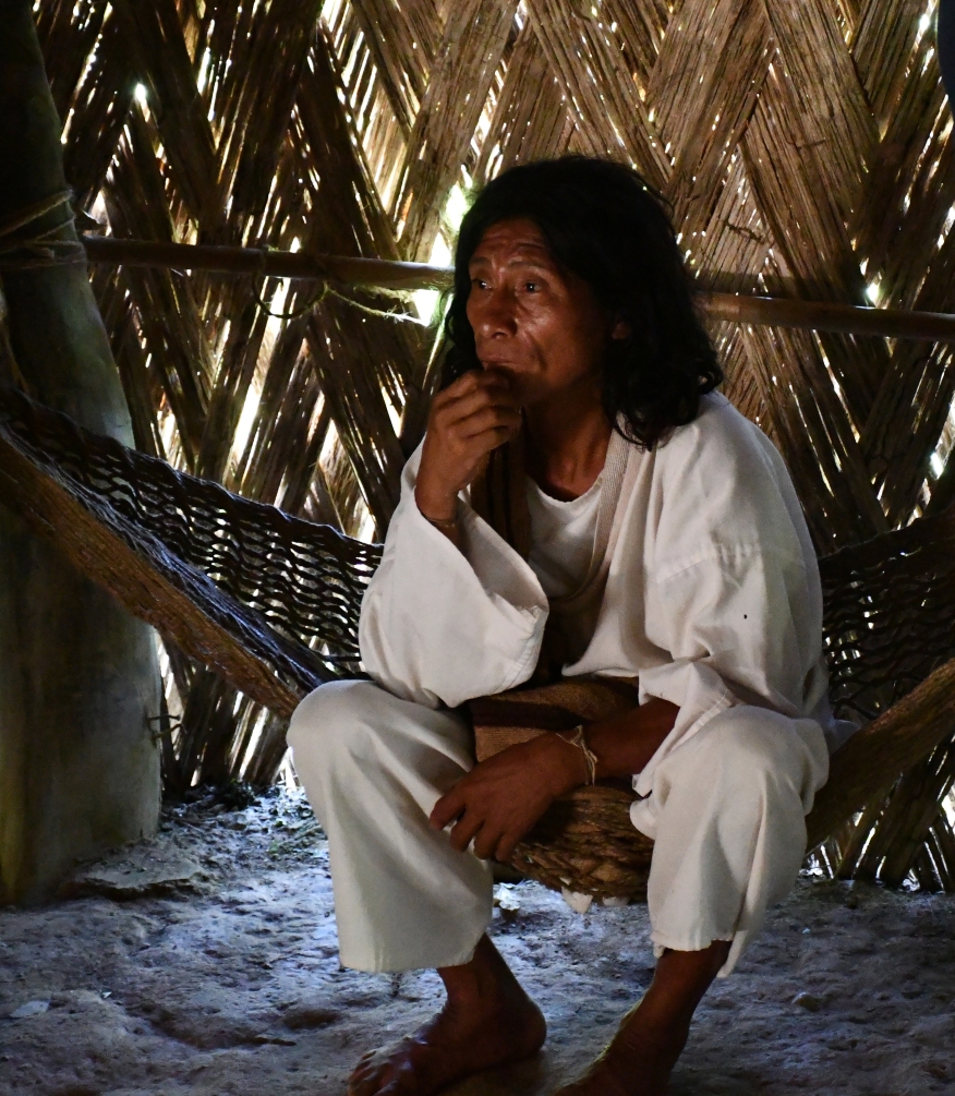
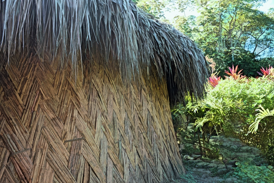
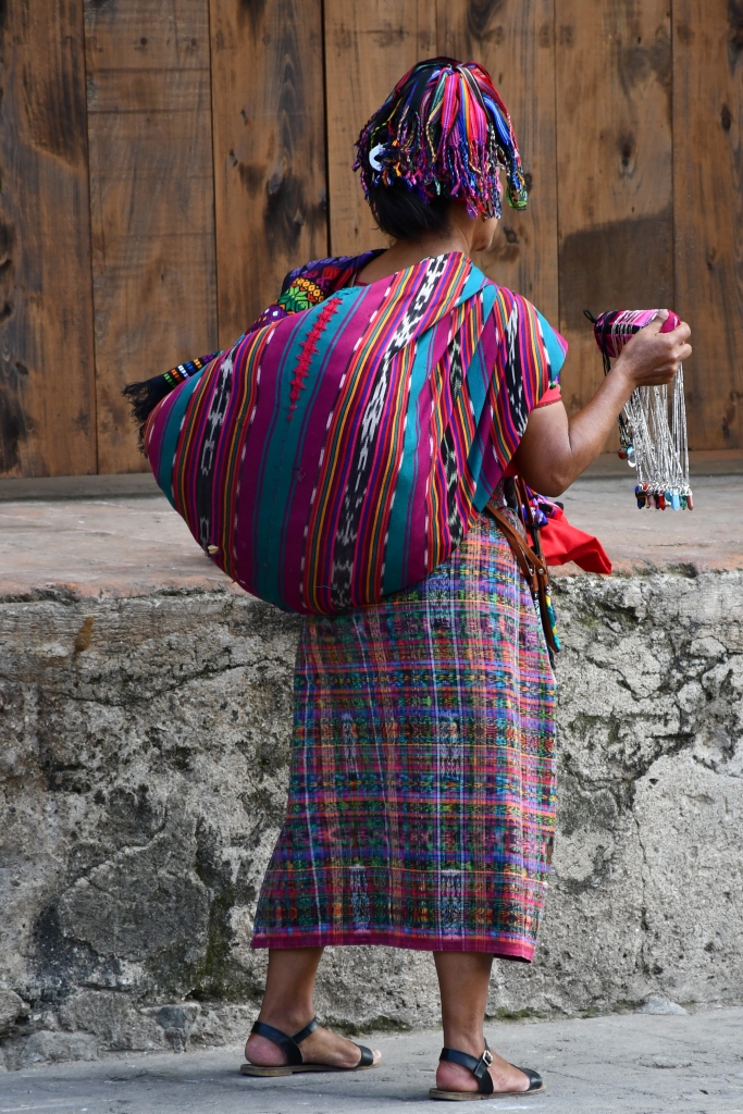
There was a small museum of the Tayronia’s who were the ancestors of the current people. Also some local style homes. We were fortunate to meet an Indigenous man and woman in one of the sites. Apparently they live an hour’s walk away, but use these places when they have some business with the local non indigenous population. The man had his device for coca leaves and lime. The woman was making a carrying bag. He sleeps on the hammock. She sleeps on a woven mattress on the floor, since that puts her close to the fertility of Mother Earth.

She was shy. (They gave permission for photos )

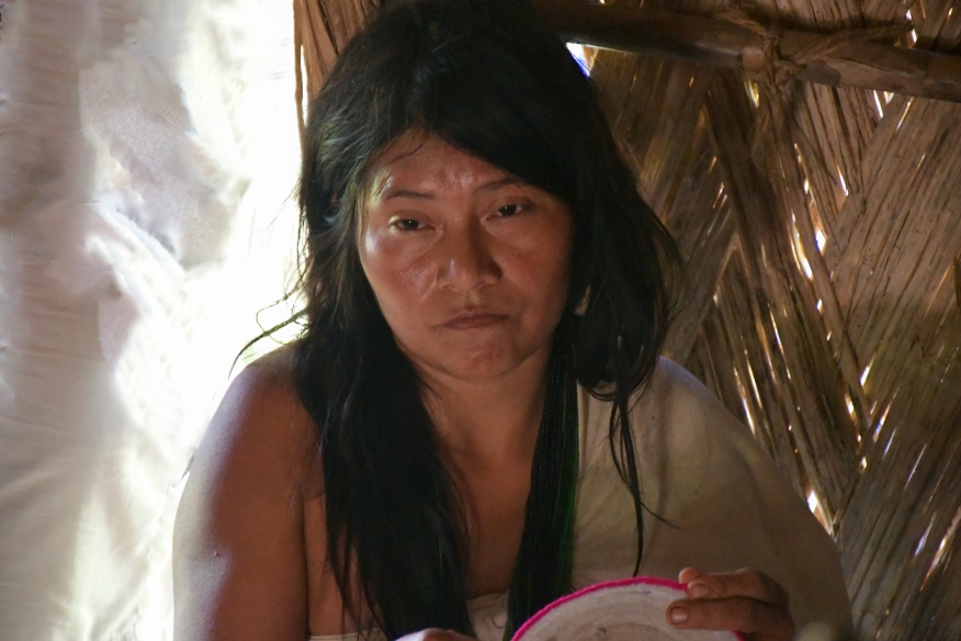
The woman was a bit overwhelmed by the crowd in the house. She doesn’t speak Spanish or English so it was likely all a tiresome blur to her. However, the Arhuachos know that allowing a glimpse of their life, on their terms, is a powerful tool for their goals. The man communicated well with our guide in Spanish.

A superb short video about the Arhuachos. “Voices From The Sacred Mountain” is on You Tube. By Ore Media, Oct 3/2018.

Antigua, Guatemala

Antigua is located in the central highlands of Guatemala, surrounded by 3 12,000 foot-plus volcanoes (Agua, Acatenango, and Volcan de Fuego (which maintains constant low-level volcanic activity). The city was founded in 1543 by Conquistadors, and has proceeded to migrate throughout the area because of destructive earthquakes. In the 1500’s alone, there were destructive earthquakes and volcanic lahers roughly every 10 years.

The city served as a major administrative centre in central America, as far north as Chiapas Mexico), on and off until nearly the present. Most of the city was destroyed in the devastating Santa Marta earthquake in 1773. This is a classic ‘rim of fire’ story…destruction and rebuilding.

Now the city is a UNESCO World heritage Site. The Spanish baroque architecture and colorful vernacular housing along cobbled streets gives a strong identity to the place. There are several churches and even more partly destroyed Church facades of interest. In many ways the place is touristy (folks gotta make a living), but prohibition of large buses on the narrow streets has cut into the milieu of mass tourism and creates a more peaceful city.

Women from the mountains come down to Antigua to sell
The old mixture of Catholicism and Indigenous influences characterize the churches
Jesus is still white, apparently
Great colors
Very old communal washbasins
No Sale
Another woman from the surrounding area
La Merced
Chicken Bus
Shoes
Local microbrew
From our restaurant table

BLUFF, NEW ZEALAND. The end of the road.

Bluff is a venerable place for New Zealand. Probably the first place settled by whites. Yet it sits in the farthest of the South Island, just buttressed from being last stop before Antarctica by the small, wild Stewart Island. You can get a taste of remoteness here. Most Kiwis have never visited the place.

Bluff has been considerably more prosperous than now. Invercargill 50 miles up the road has captured most of the action. Groupings of no longer used commercial buildings speckle the small downtown facing the commercial wharf. The winds of the Southern Ocean make Bluff a bedraggled sort of place: cold, tattered. But it remains famous for the wild Bluff Oyster and to a lesser extent blue cod, fisheries.

The Foveaux Hotel echoes some art deco touches in the town. The name is taken from the Strait between the South Island and Stewart Island.

Old Bar or Resto?
Window in defunct marine engineering works
Denton Motors Ltd.
Revitalization downtown
Old Housing Facing the Wharf
Old Commercial Building
The wharf for ocean going ships
We missed it. Would have LOVED to go.
Good Deal.

Some artists have made a home here. Clever statuettes all on a theme.

It’s supremely difficult to revitalize large old commercial buildings and make it economically viable. Cheers for trying.

Wall Mural showing the good old days

Gentle Annie’s

Way up on the remote west coast of New Zealand. Not to far from the end of the road. Gentle Annie’s is a long beach at the mouth of the Mokihinui River. The beach ends at Gentle Annie’s point…a rocky mass of erosional features. This place is cold, windy, fairly wild, and magnificent.

The Tasman Sea is wild, even on a sunny, mild day
but when the weather hits…
A tough place
And a lonely place
Full of driftwood from who knows where
And big fellas beneath the sea (photo by Vivian)
With Massive Moods
And peaceful quiet
The New Zealand Westlands are amazing

Cisco, Utah

Another in my series of almost, semi-, and partially ghost towns. Cisco, Utah is off Utah route 128, coming from Moab towards Interstate 70. Once a bustling cattle town and then railroad town, it was bypassed when I 70 was built, and when railroads didn’t need as many section towns as they once did. Not particularly good country for making a living otherwise. So it bakes in the hot sun. And freezes in winter cold. At least three films have used the desolation for background, most notably Thelma and Louise. And it is NOT a ghost town because at least one house is permanently occupied. And the inhabitants rightly don’t appreciate the taggers, graffiti artistes, and just plain juveniles who attempt to trash whatever seems free to do so. I don’t blame them. I stayed on the main road to photograph and showed the proper respect. I hope others will too.

This has got be original. The squared logs are amazing. Note the sod roof.

Wharariki Beach, New Zealand

WHARARIKI BEACH, NZ

One of the best ever beaches for exploring that I’ve found anywhere. Wharariki Beach is near the far northwest point of New Zealand’s South Island. After driving 153 Km winding miles from Nelson, over the Takaka Hills, and further along the coast of Golden Bay, you eventually run out of paved road. Carry on for at least 6 more Kilometers of gravel road, past the turn off for Cape Farewell, and you’ll arrive at the parking area. Now its a 20-30 minute hilly hike through sheep country, back dune forests and then deep sand.

And it is worth it. Wharariki Beach is totally undeveloped. There are 4 Archway Islands barely offshore from this extensive beach. Just a few sunbathers/swimmers, and all forms of coastal exploration available from caves and arches, through fascinating conglomerate rock layers, to baby (and adult) seals, not to mention pure white sand dunes, and native forest on the back dunes. The wind blows in from the Tasman Sea which means no bugs. The place is brilliant.

Archway Islands


The south end of the beach is a maze of arches and caves. You have to be careful when the tide is coming in, like here.
These 2 Islands are the stars of the Beach. Massive with arches as well. I couldn’t stop from taking pics.
The shoreline rocks are pitted with some large caves. Cool refuges on a hot day.
When we were there, the largest cave was being used by a ballroom dancing group. Perhaps an incongruous site for the activity, but they were enjoying their Sunday far from the crowds.
The dunes are pure white and towering.
Local seal. Long lens kept me far enough away to be non-intrusive.
Large shoreline Arch. Had to do the limbo through a smaller arch on the extreme right to get beyond to rock pools. (Watercolor treatment via Topaz Studio.)
The wind doesn’t stop often here. These back dune trees show some effects of that.
Walking back was hot and steep. in some parts the trees shaded the trail.
Then open trail across the Department of Conservation-run Puponga farm. The terrain is dramatic.

Dragon Boats Wellington NZ

We were in Wellington NZ Feb 23 this year and wandered down to the harbour. Luckily the Dragon Boat Festival Fun Day was in action. Wellingtonians have a harbour they can use, at least when the wind isn’t howling. One thing I like about New Zealand, among many, is the widespread participation in sport. In the pictures you will see you and old, male and female, pounding across the harbour in their dragon boats.

The person at the front is the drum, the back person is the sweep or oarsman. There are typically twenty paddlers. Never really watched before.

Barkerville

At the end of the road. Old Gold Mining Town that lives again. Very well done. Using original buildings and authentic recreations. A must-see in British Columbia.

Main Street
Mass Transit
Anglican Church

Dentist Lying

Log home
Chinatown.
School
Ornate Safe in the Assay Office

Vivian, South Dakota

Vivian is a small town, like Belvidere, on the South Dakota plains. We diverted there in September largely because Vivian is my wife’s name. The town, like almost all smaller places, is clearly suffering from rural depopulation. Services have been captured by larger places and concentrated there. Once a place loses its school, post office, active grain elevator, church, and store…then it has lost most of the structural components of community. The inhabitants must struggle uphill to keep there sense of place, of home. The town becomes just a collection of houses.
Vivian is clearly struggling. There are positive signs, flowers in the streets, a tiny museum, a newish cafe. But still most of the few active commercial enterprises are outside of town on the local county highway. Hopefully, the home of the Bearcats continues to be a vibrant community.
Unused tracks at the end of the main street
Once the Fire Department..
weekday afternoon
Museum

Belvidere, South Dakota

Defunct store Belvidere SD HDR 1898 -2Junk cars Belvidere SD 1916-2Workshop tree Belvidere SD HDR 1902 -2Meat Market Belvidere SD clarity 1900Stream lined trailer Belvidere SD 1919-2Collapsing House Belvidere SD 1915-2Upstairs window 1915DSC_1922
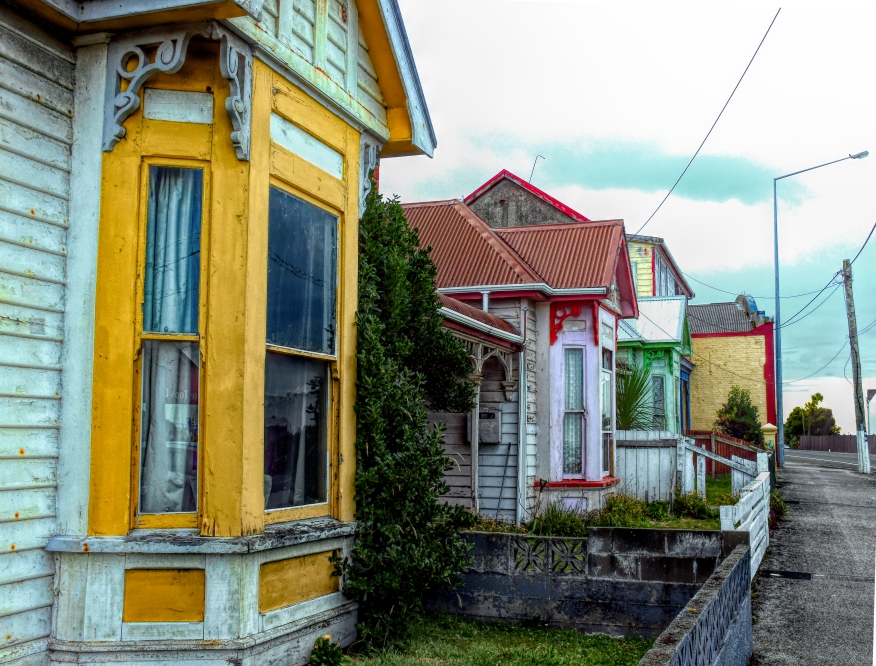
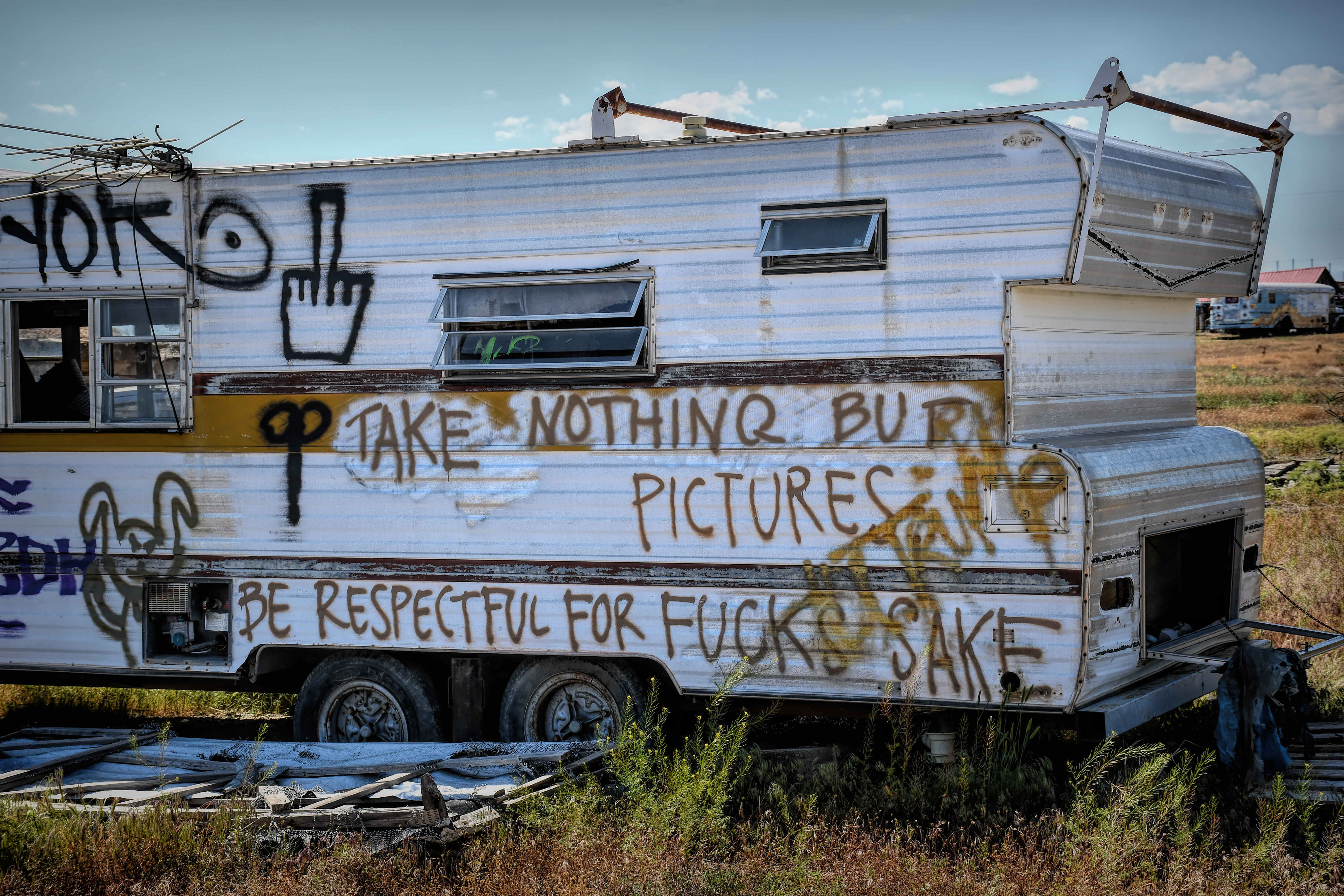
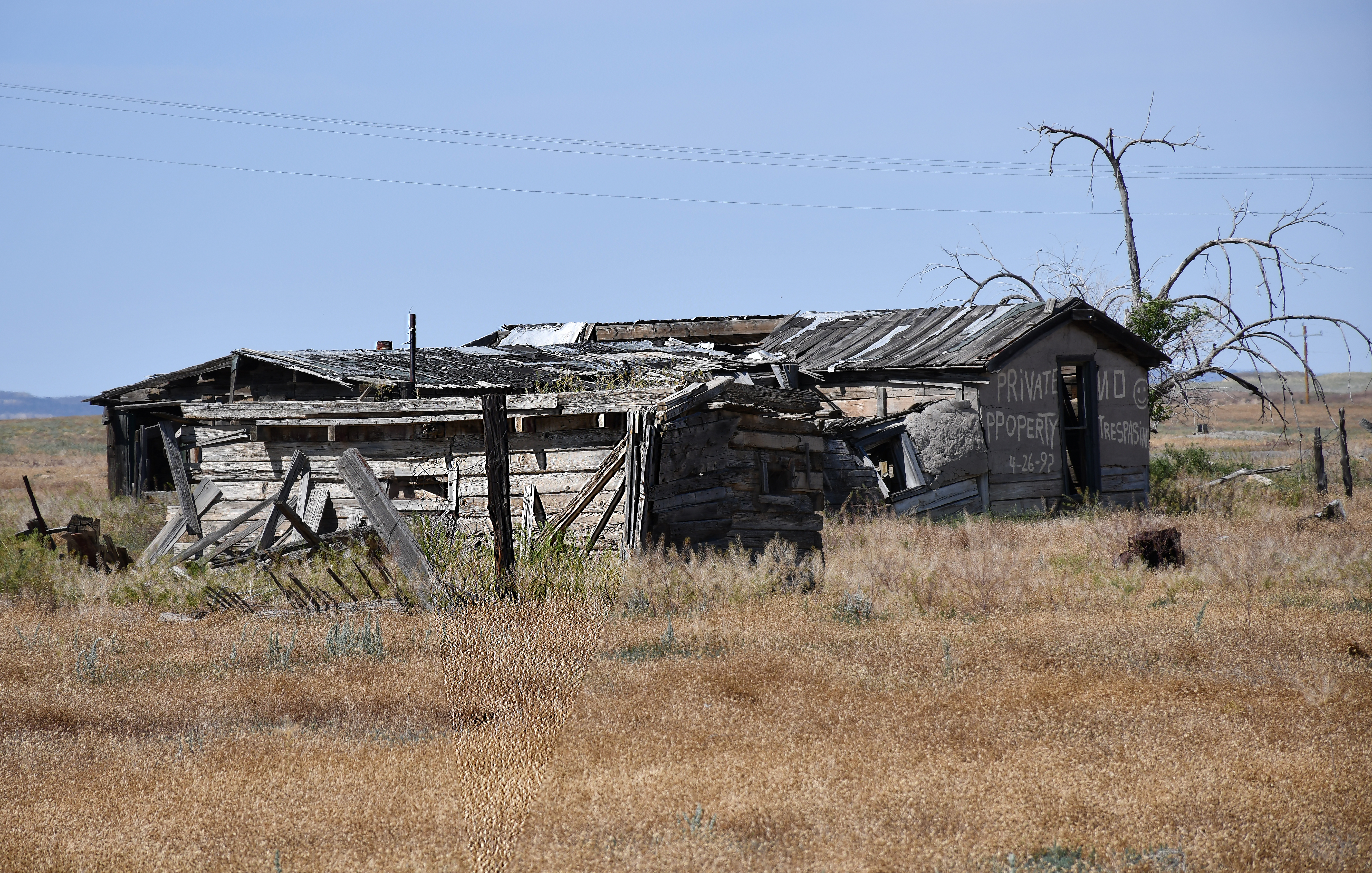
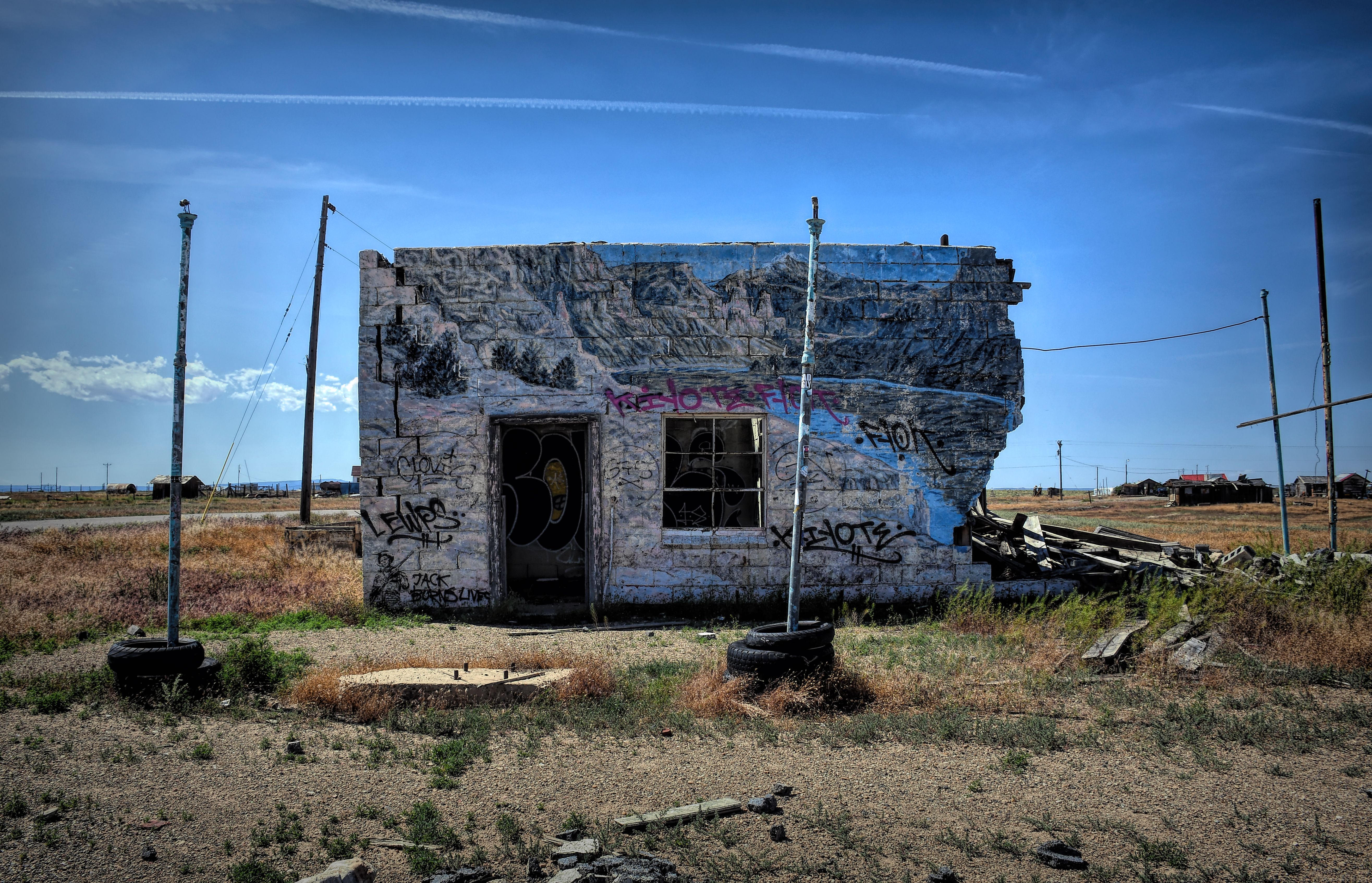
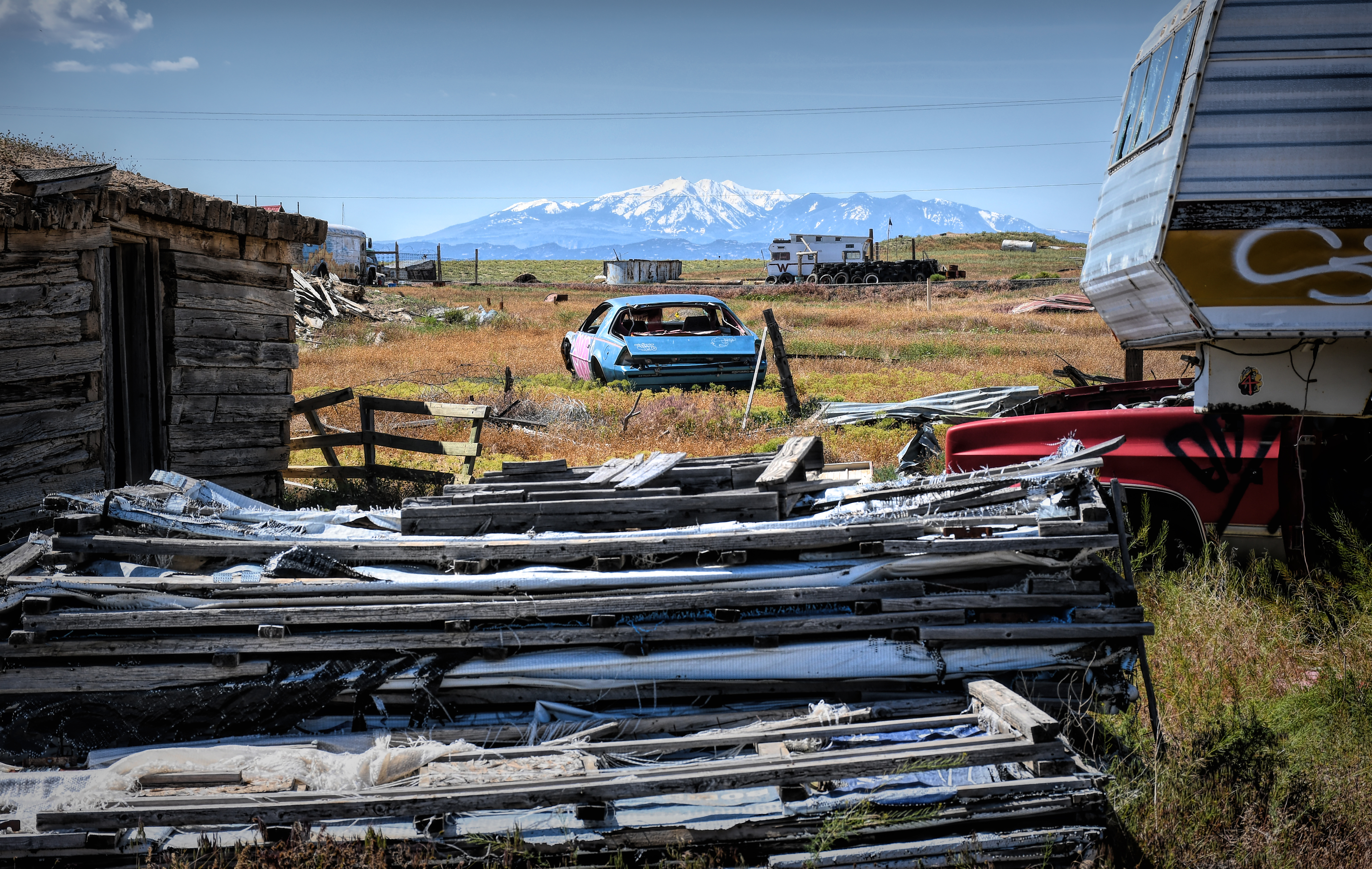
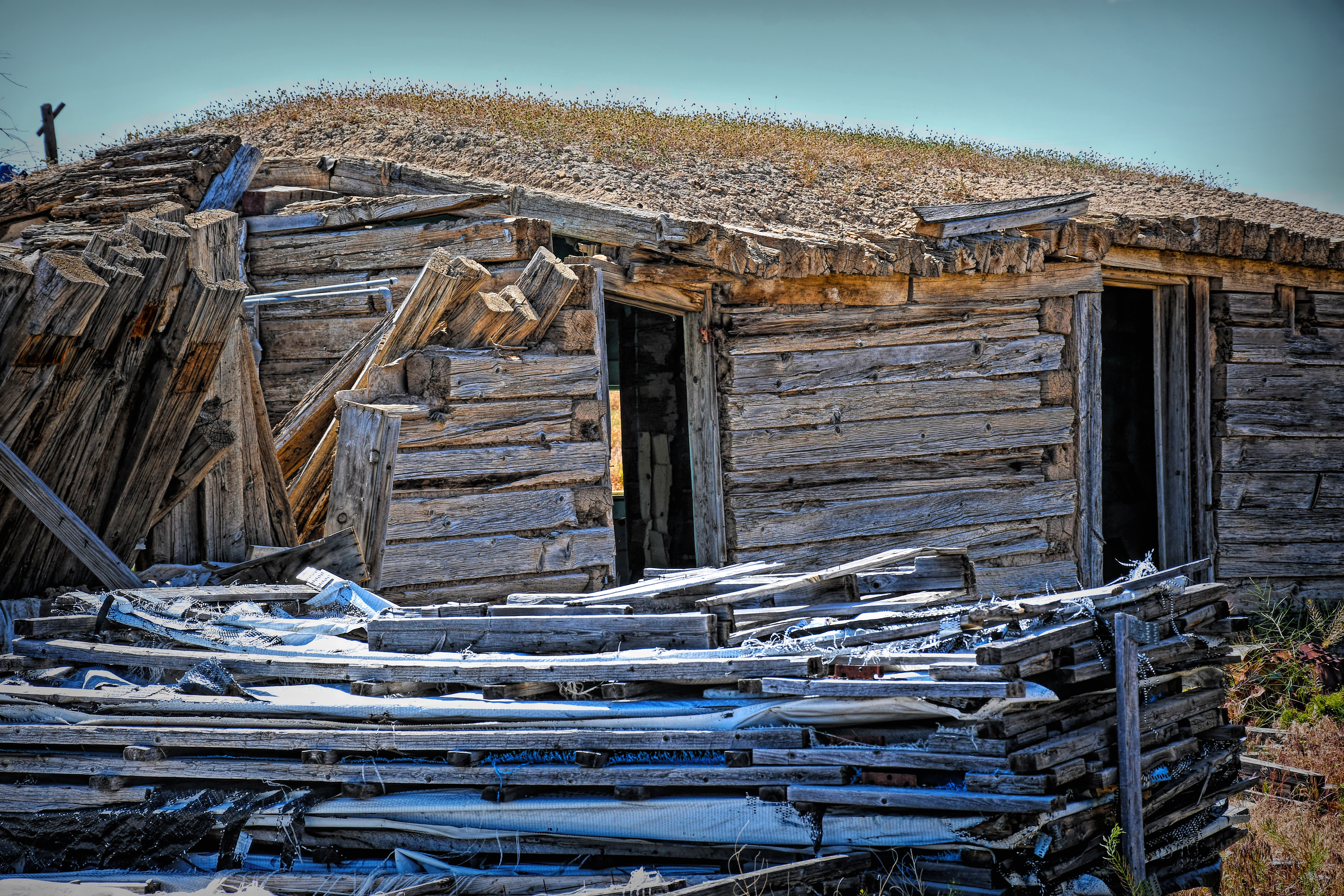
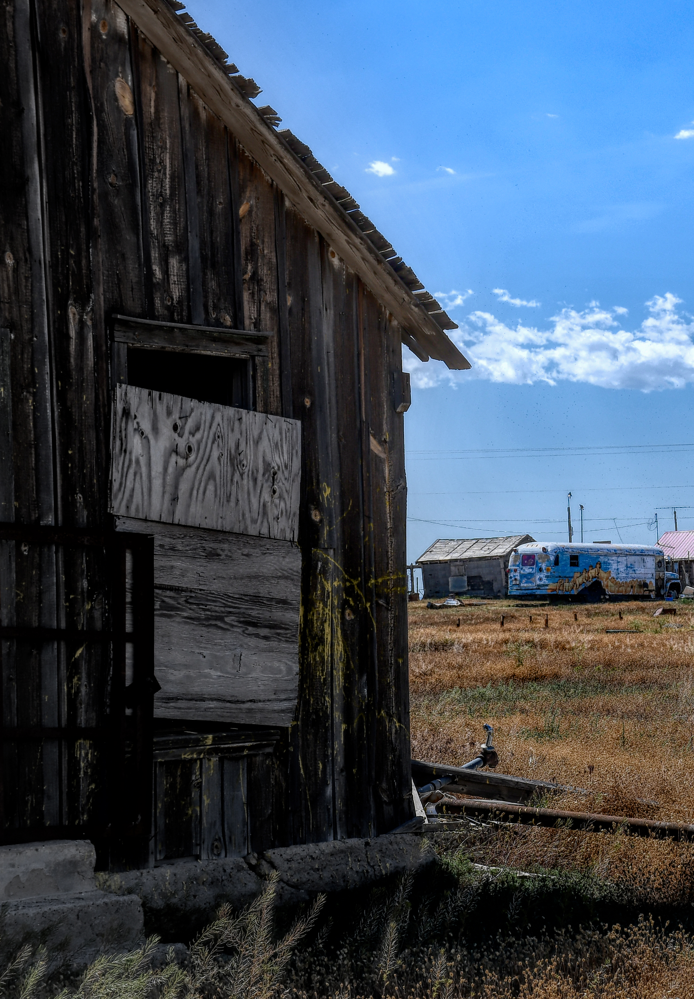
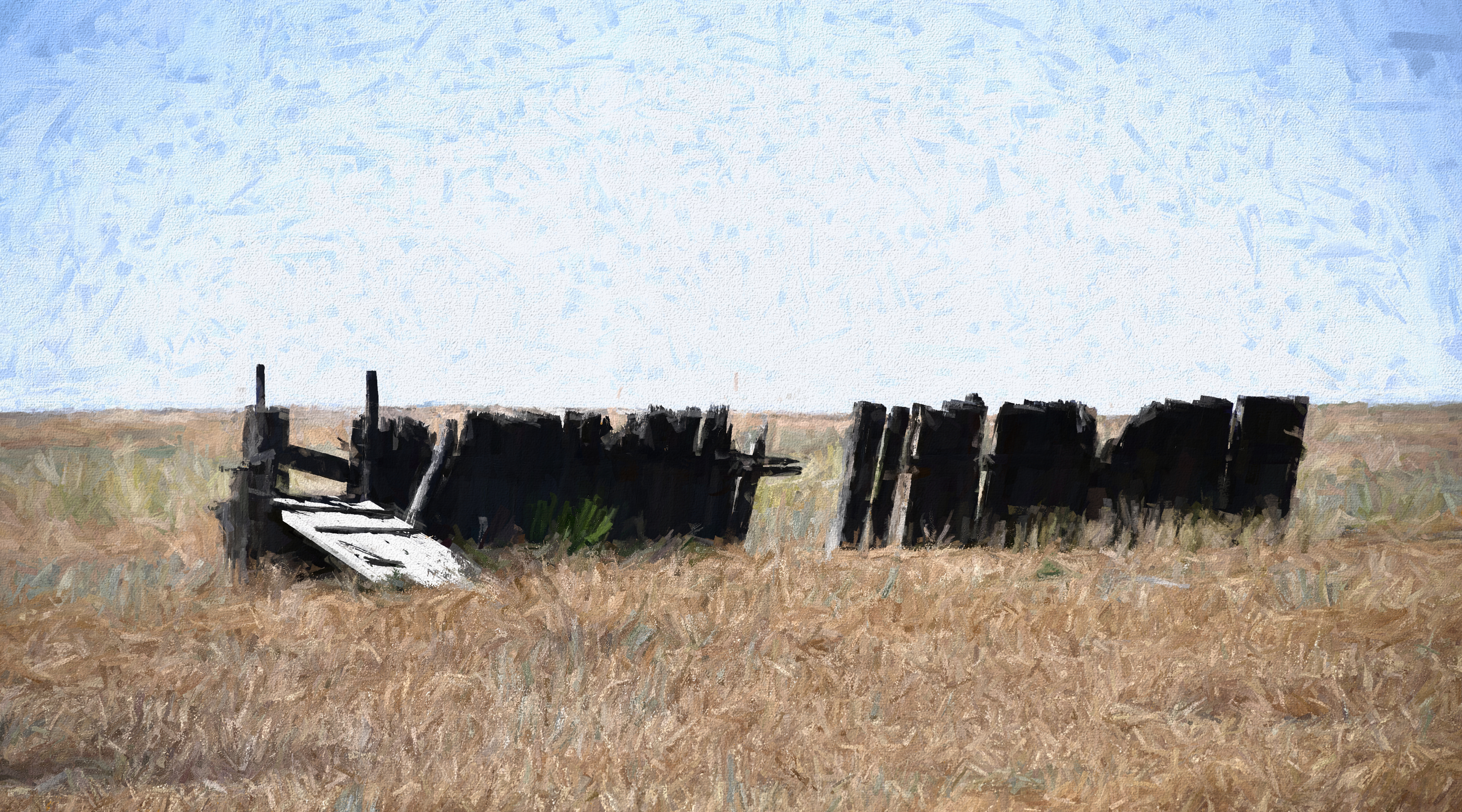
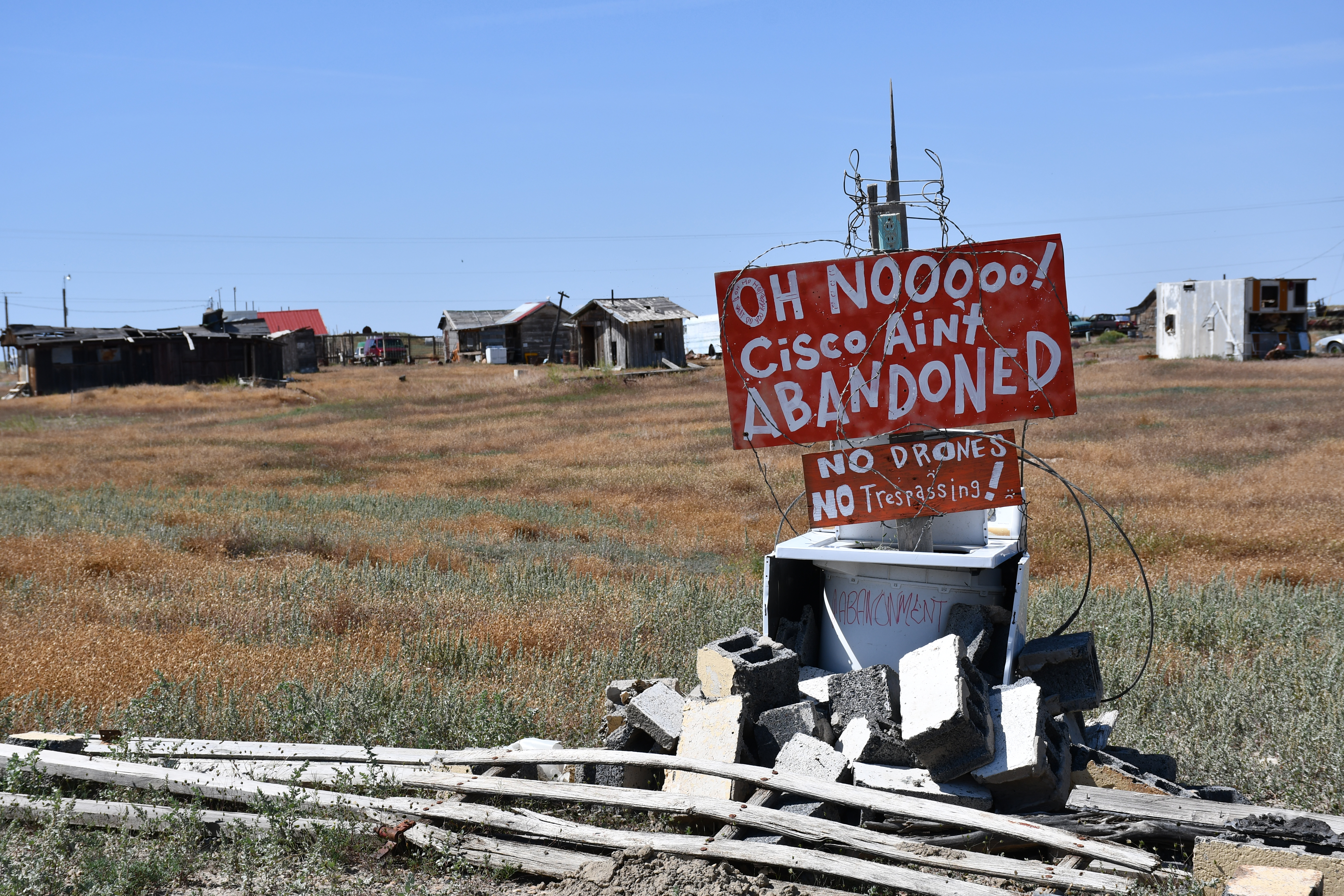
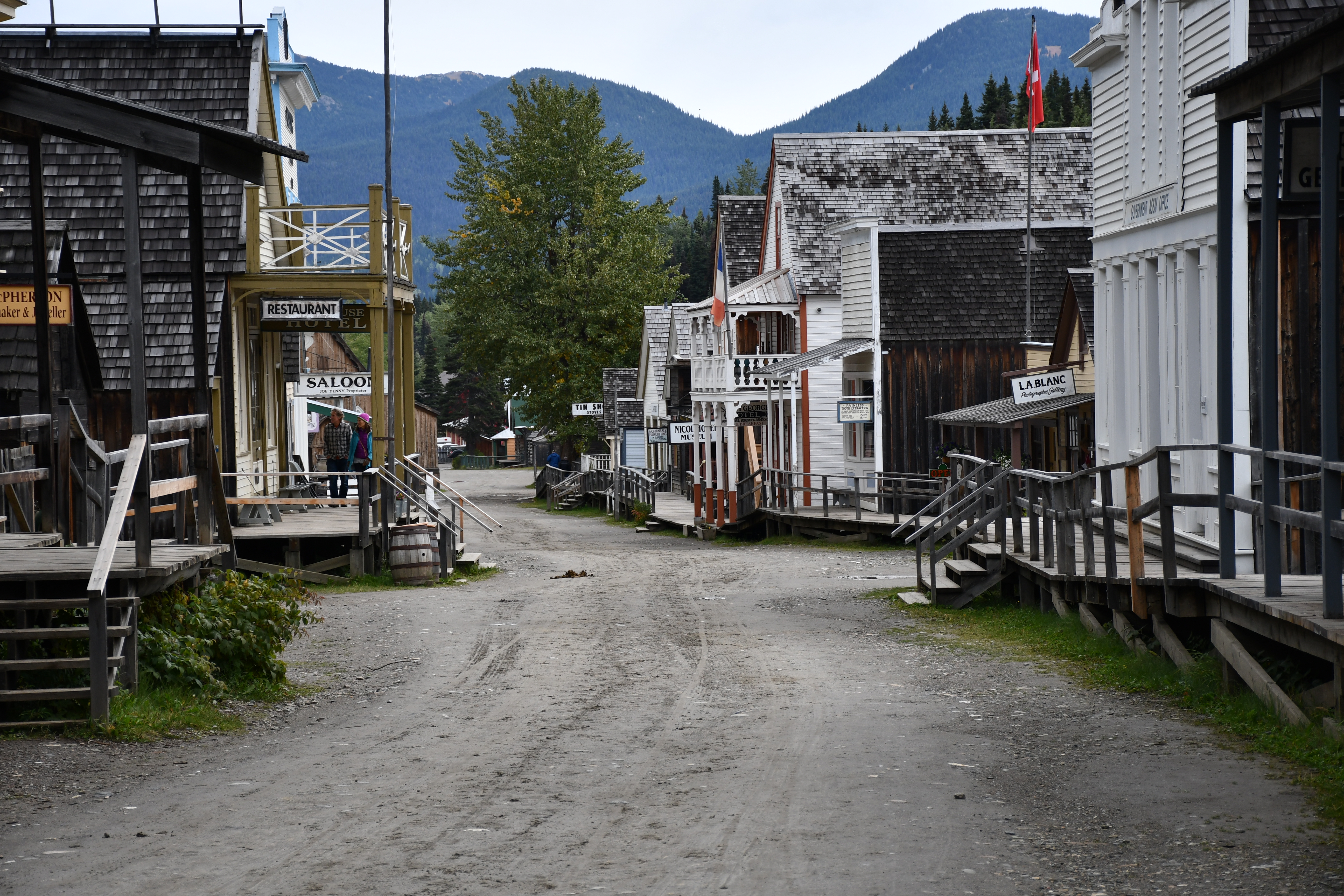
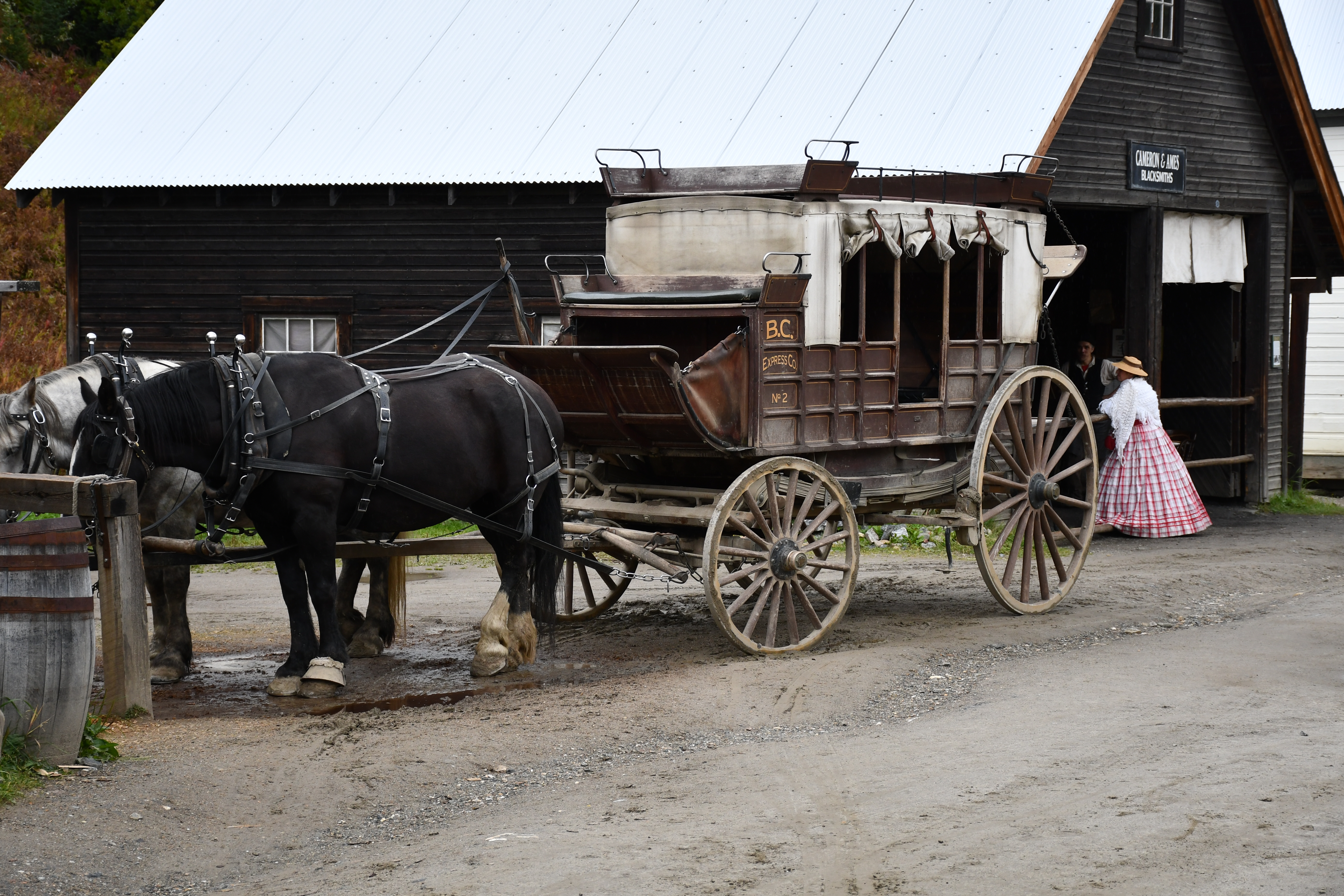
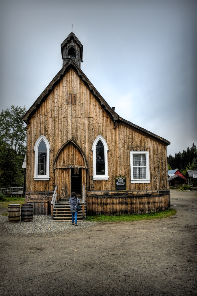
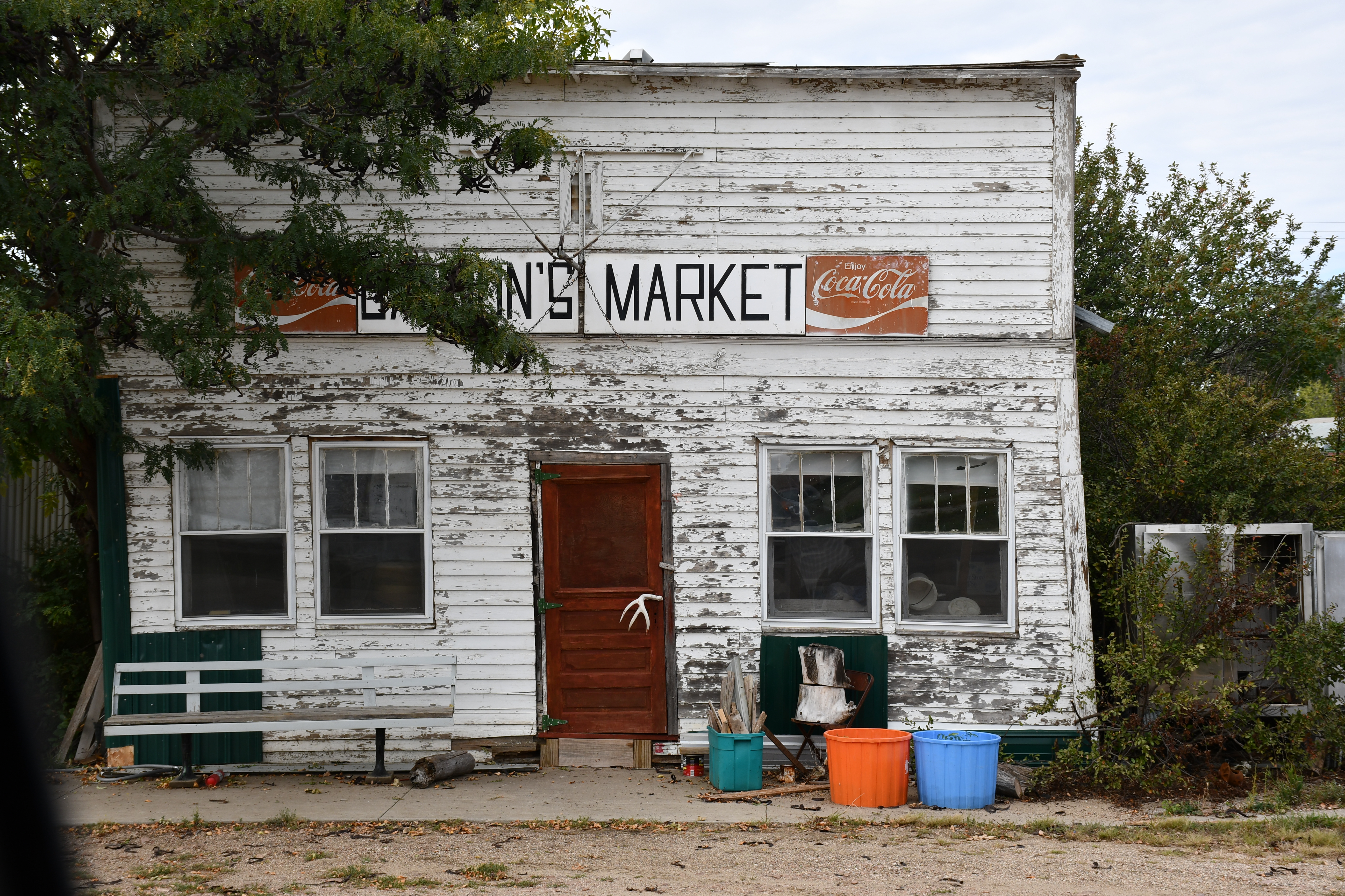
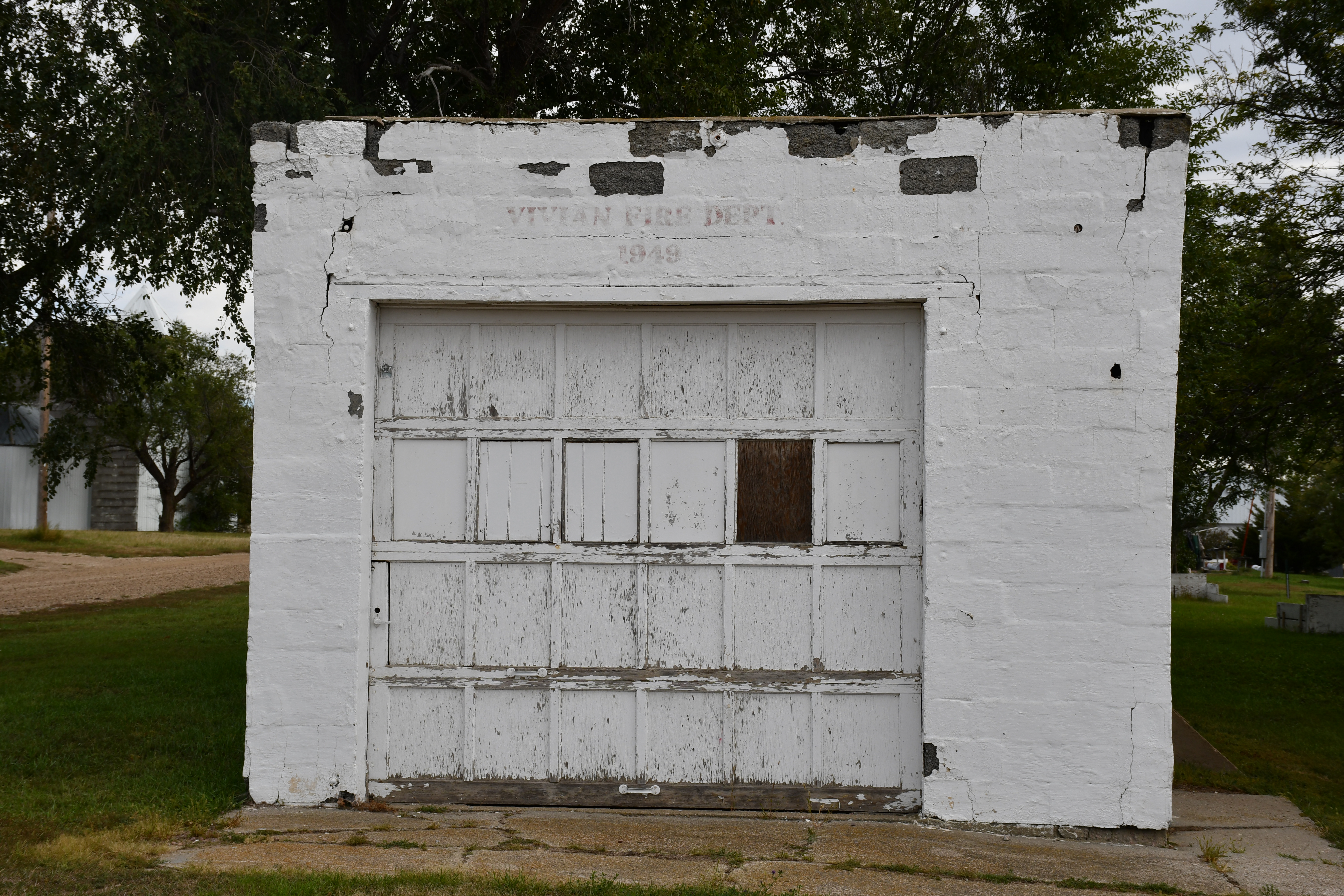
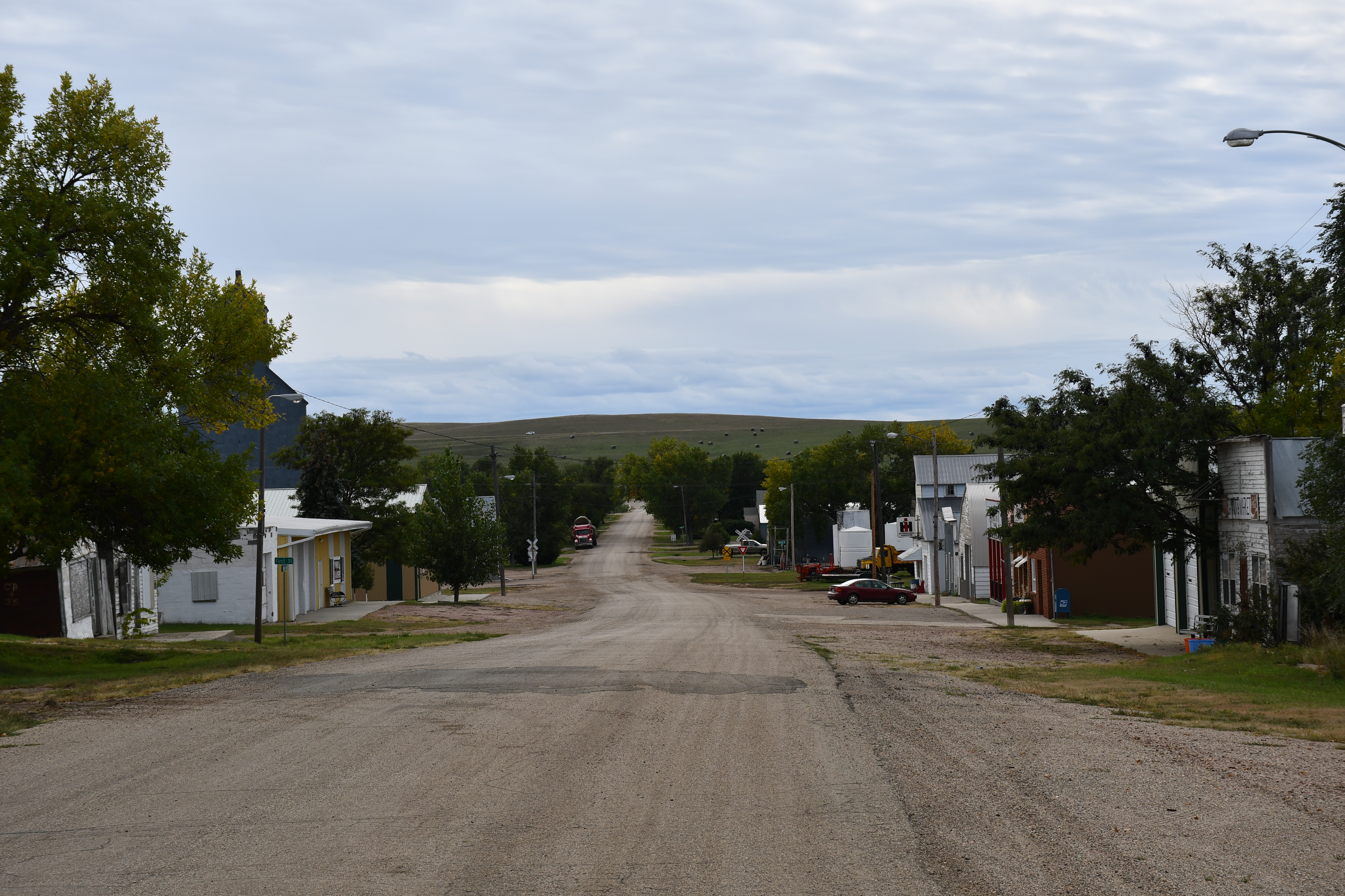
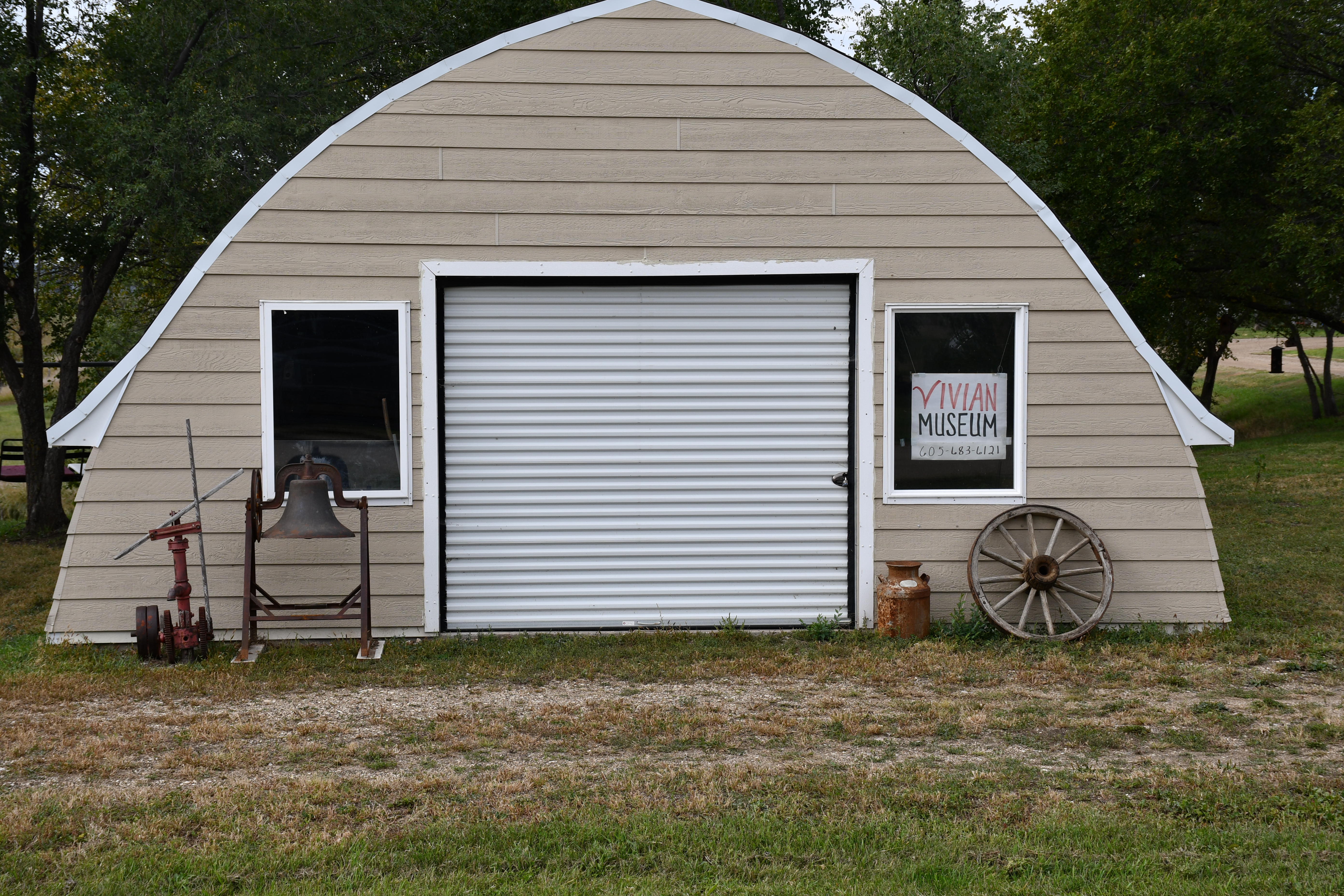
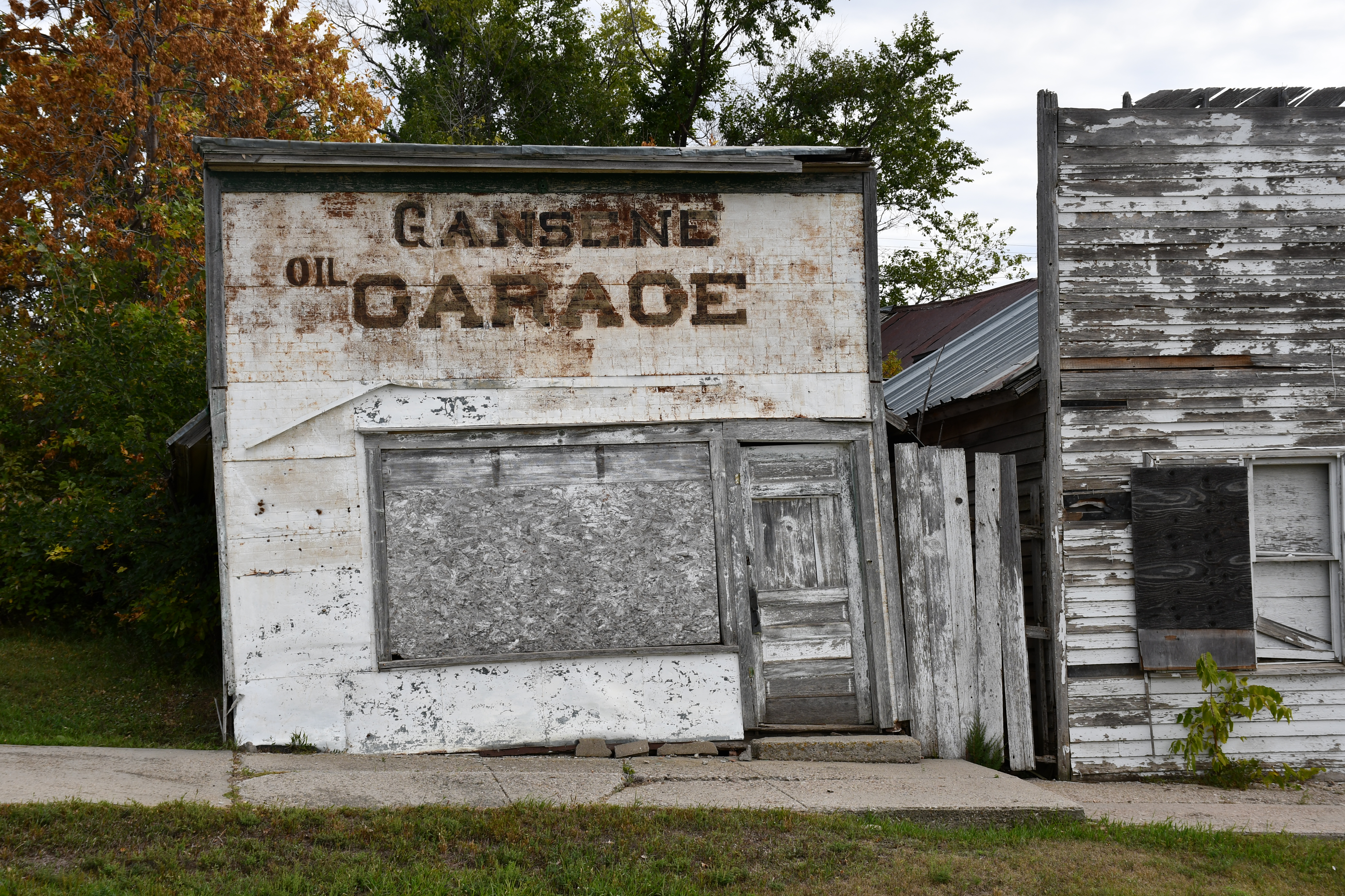
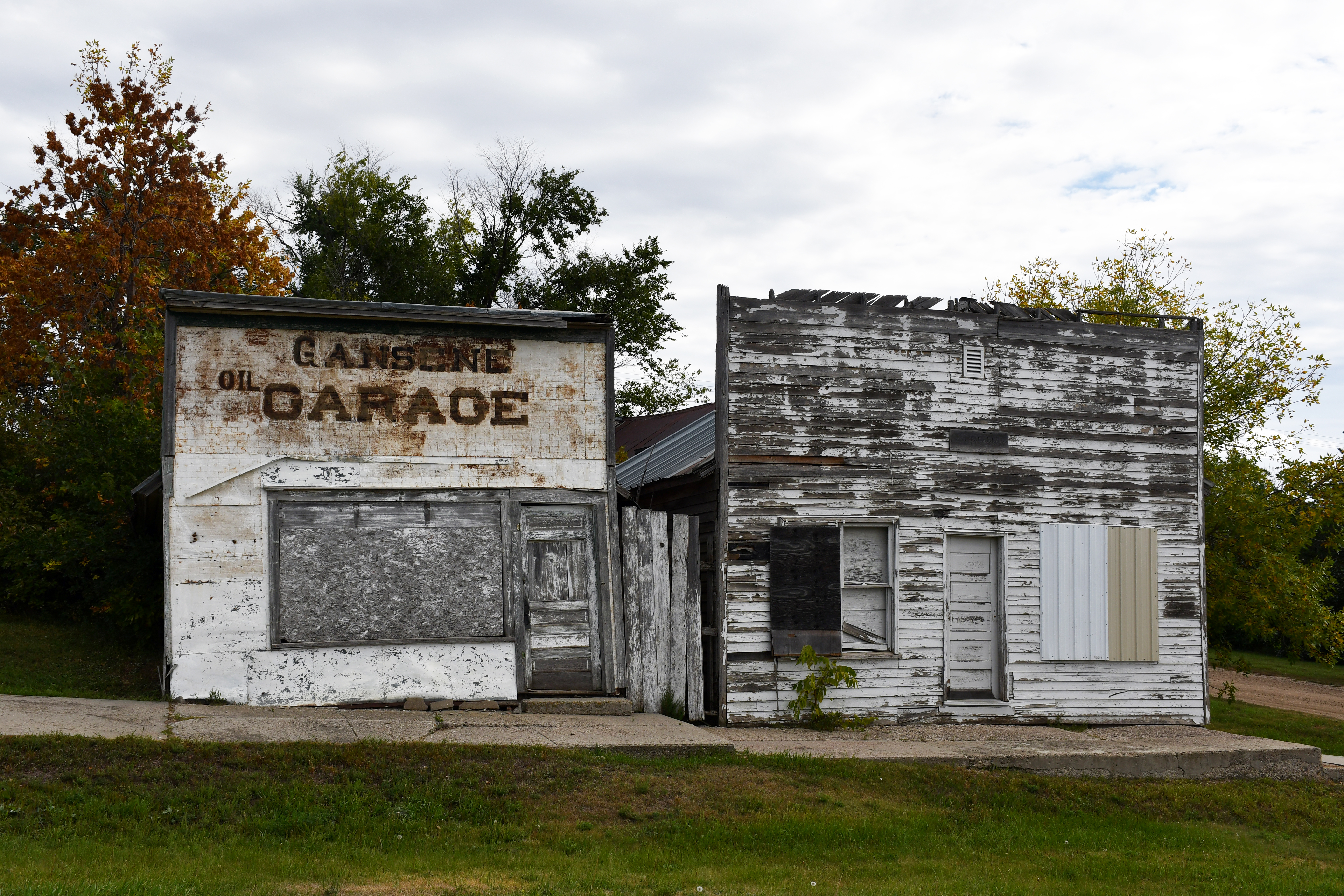
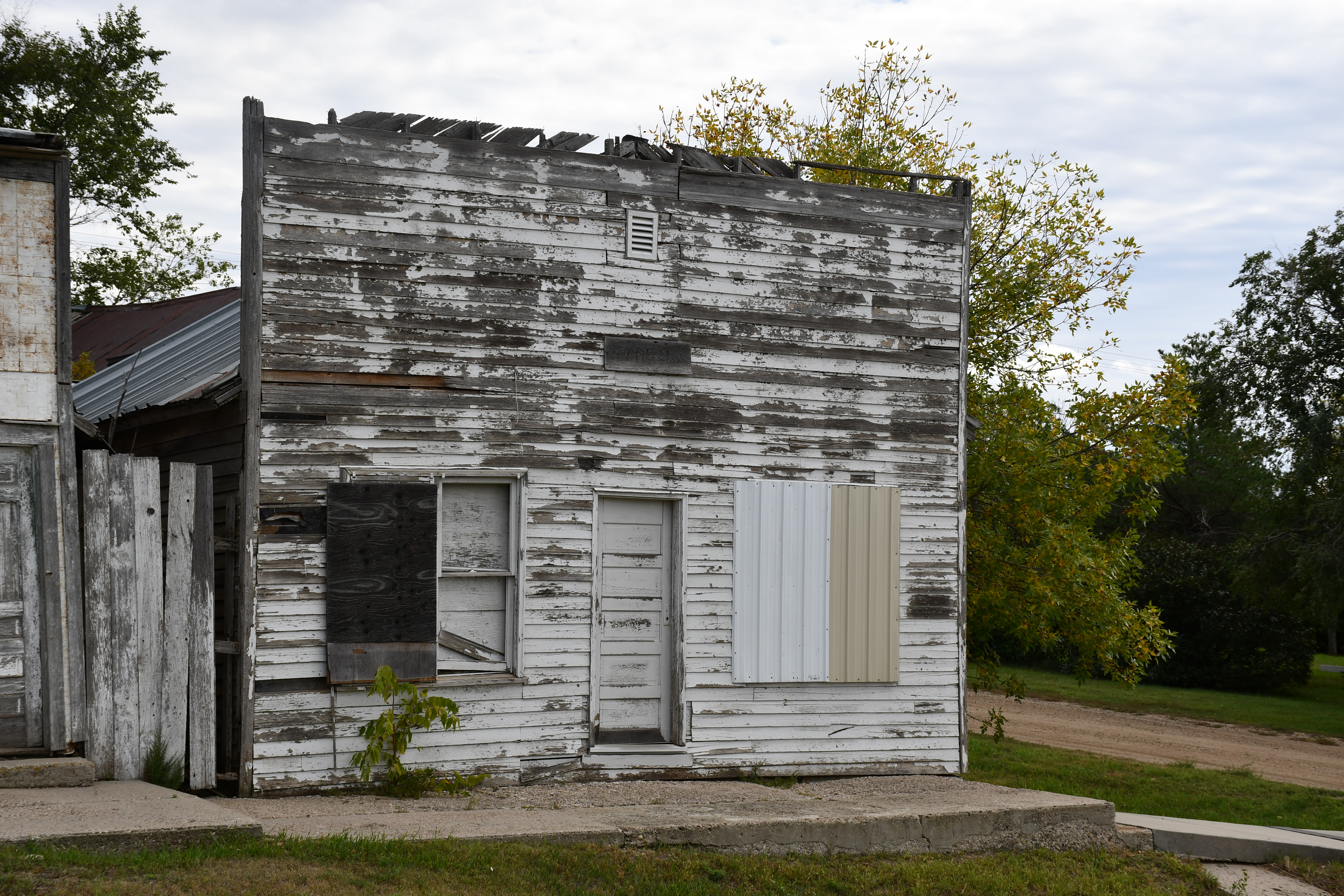
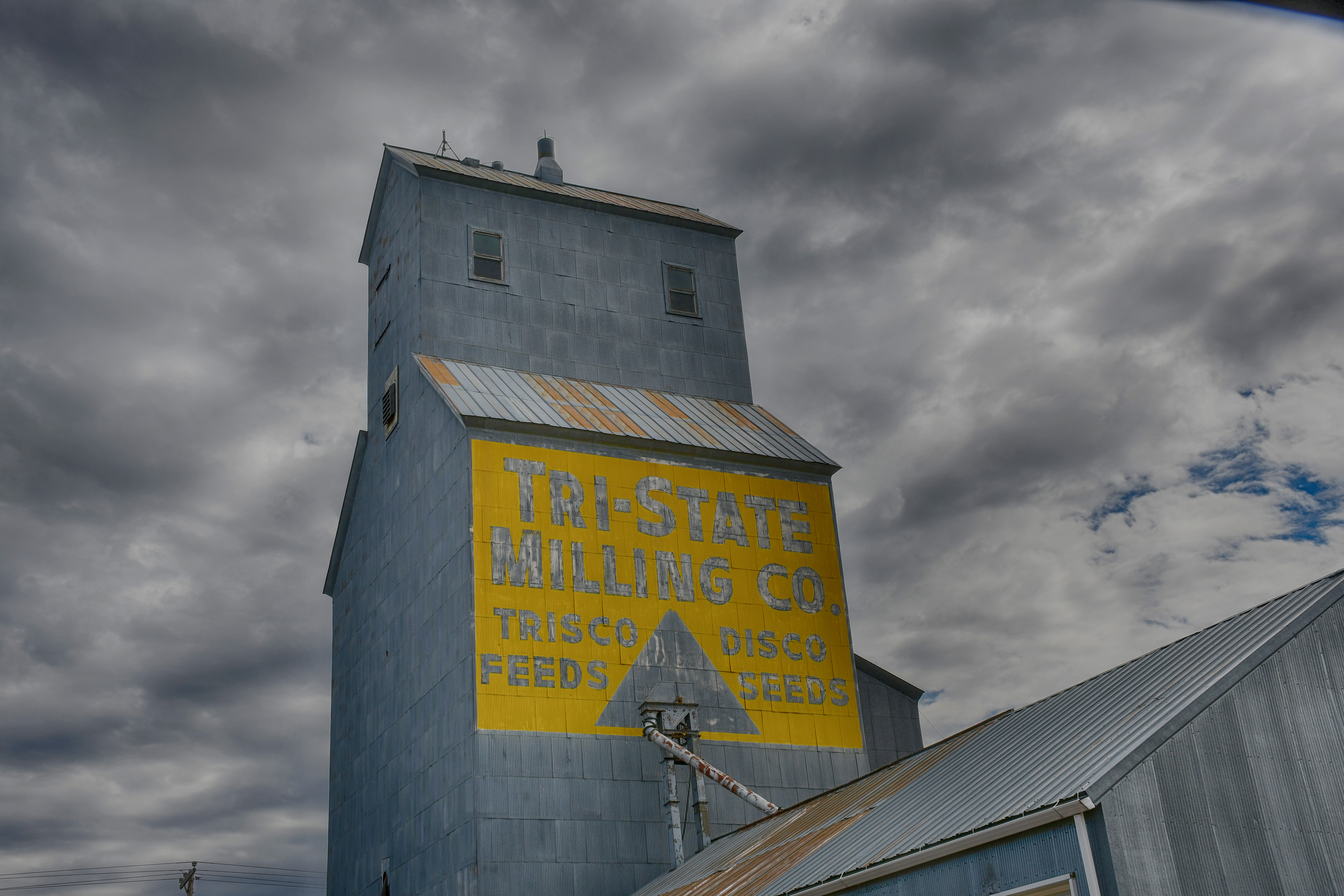
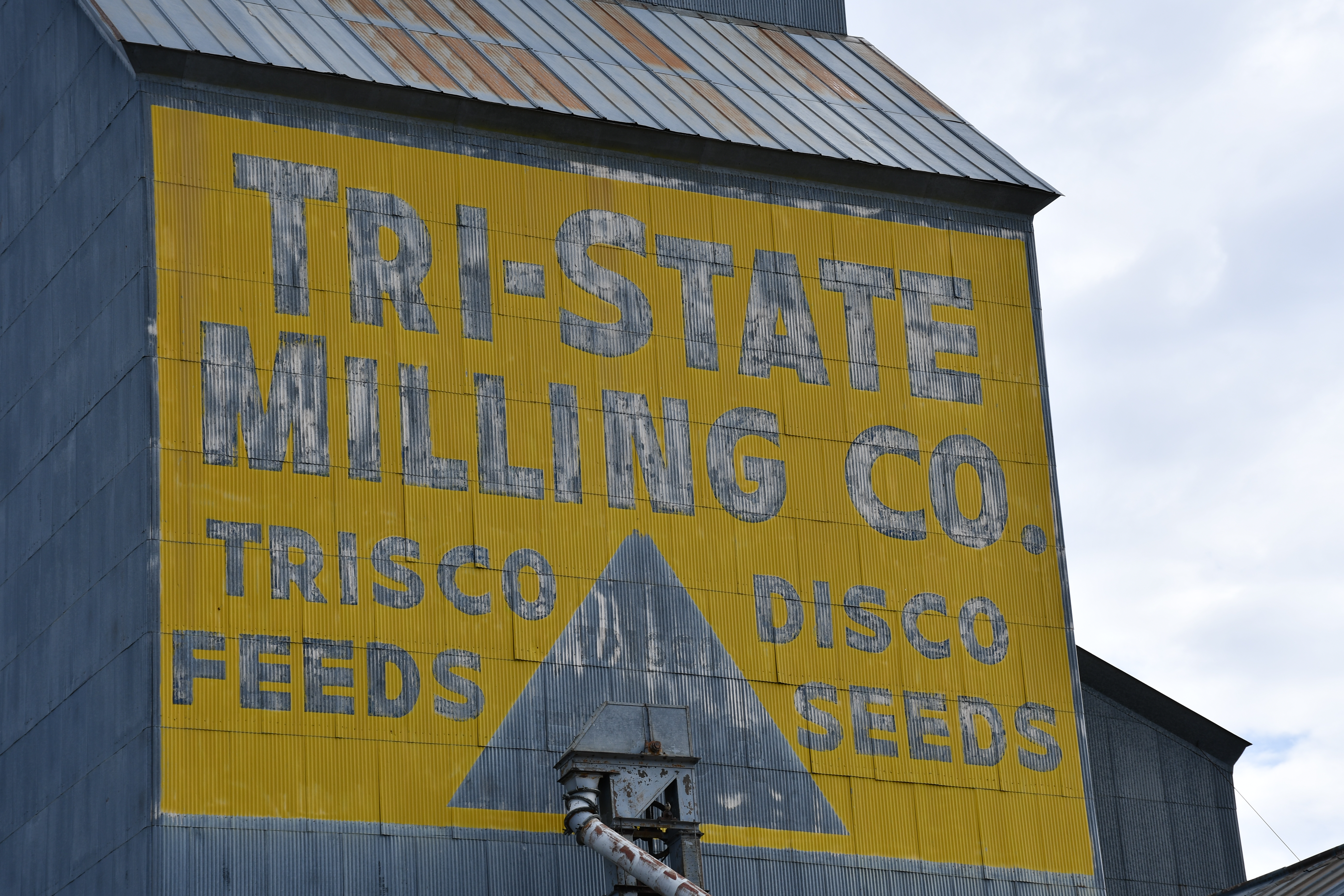
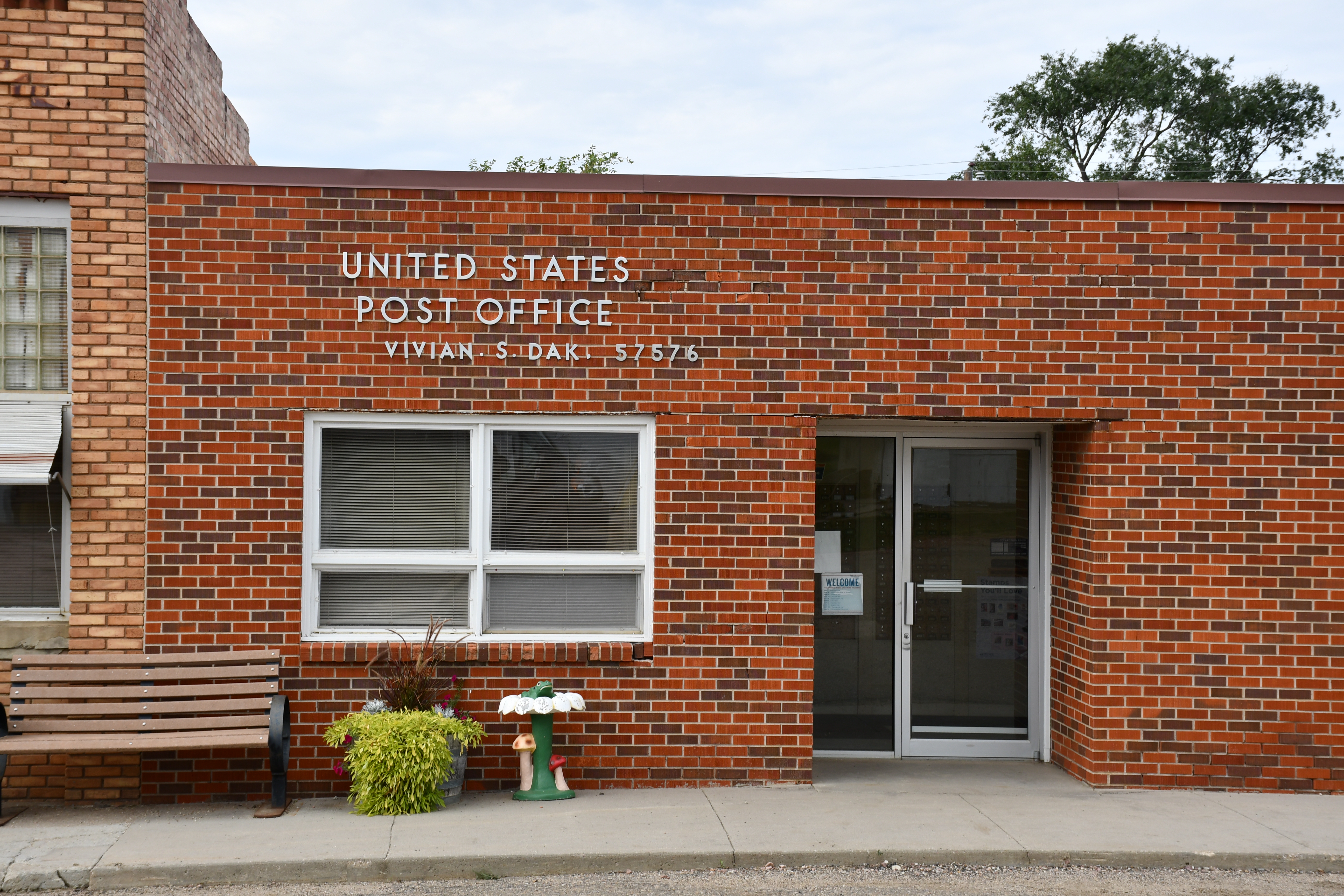
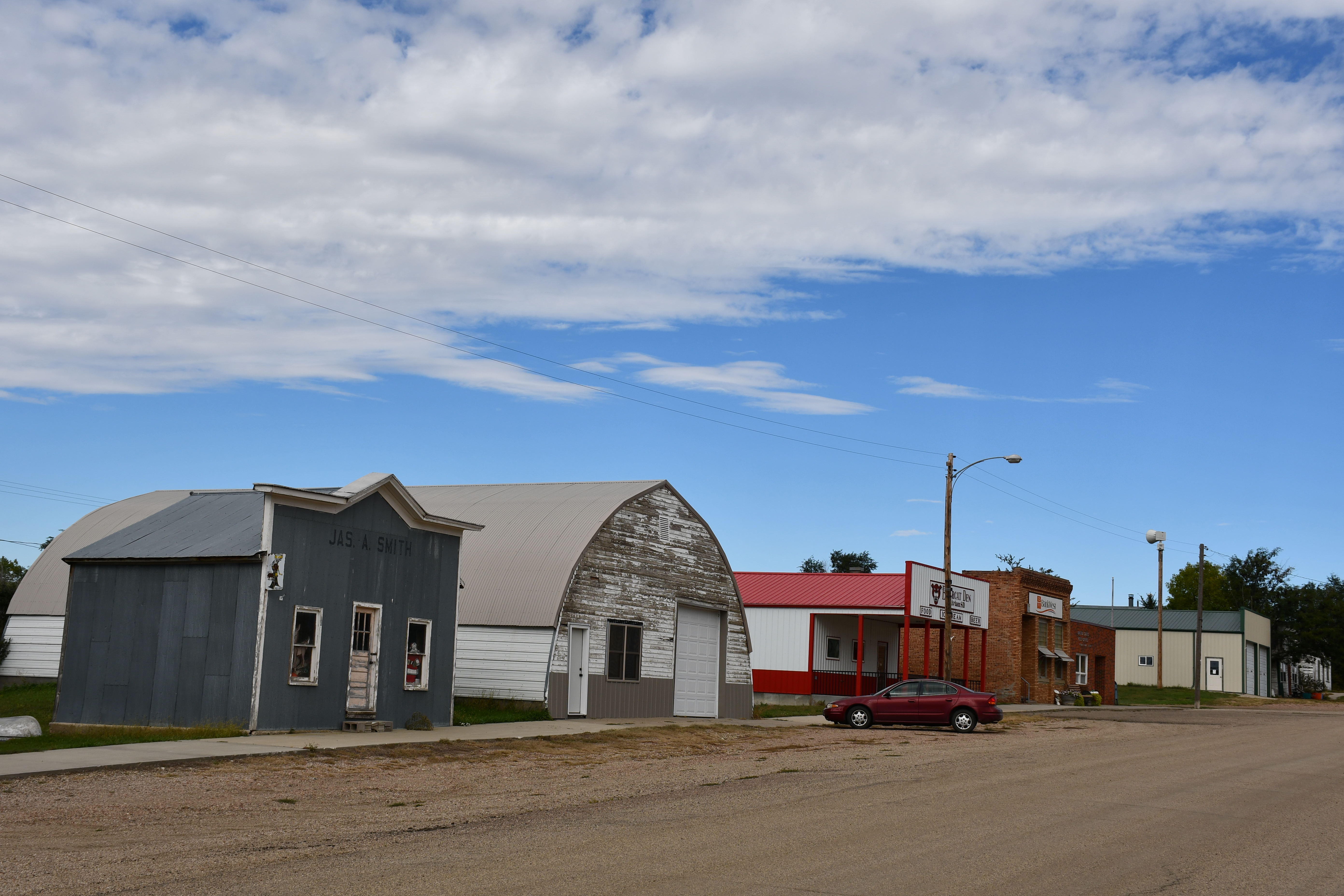
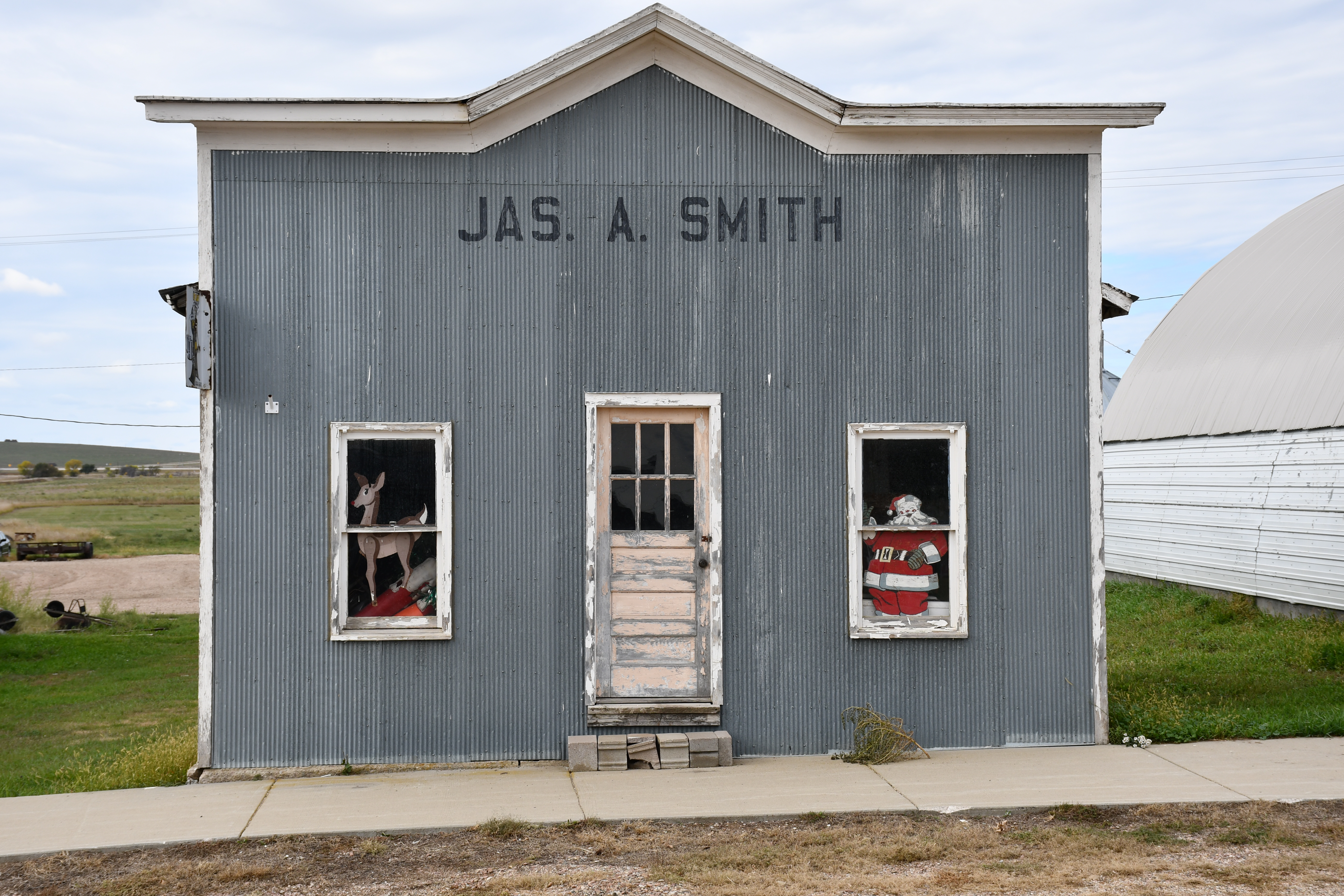
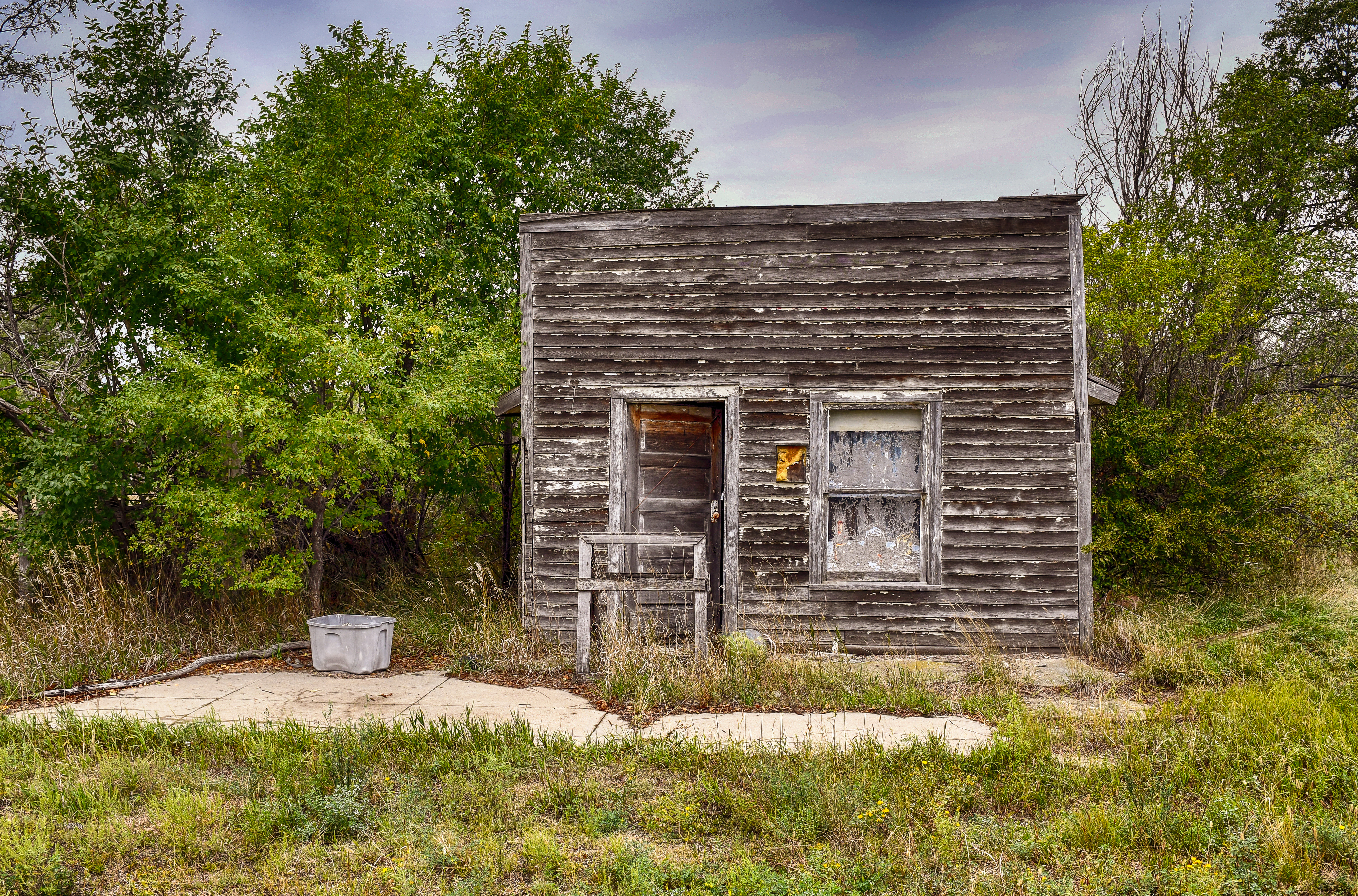
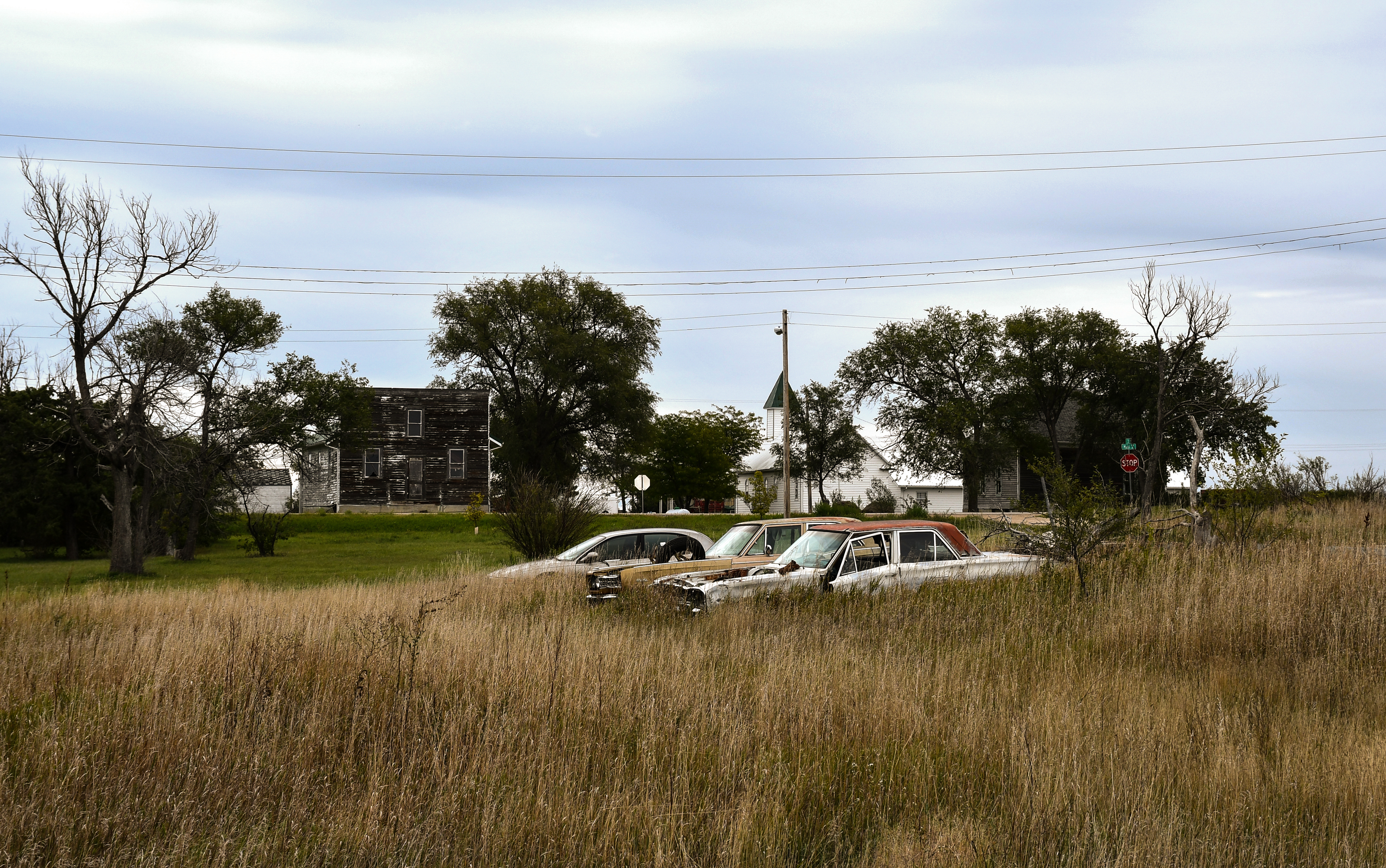
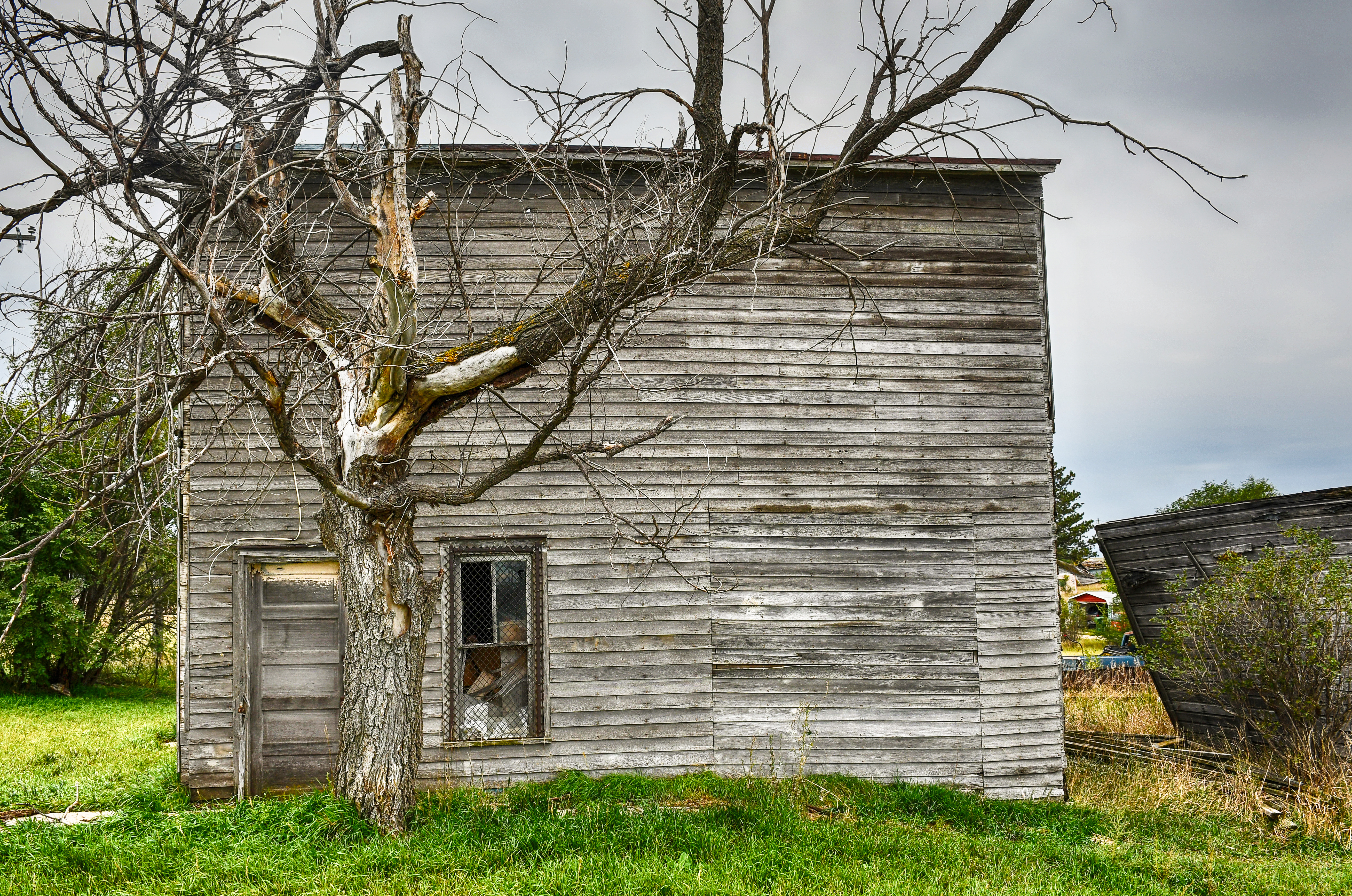
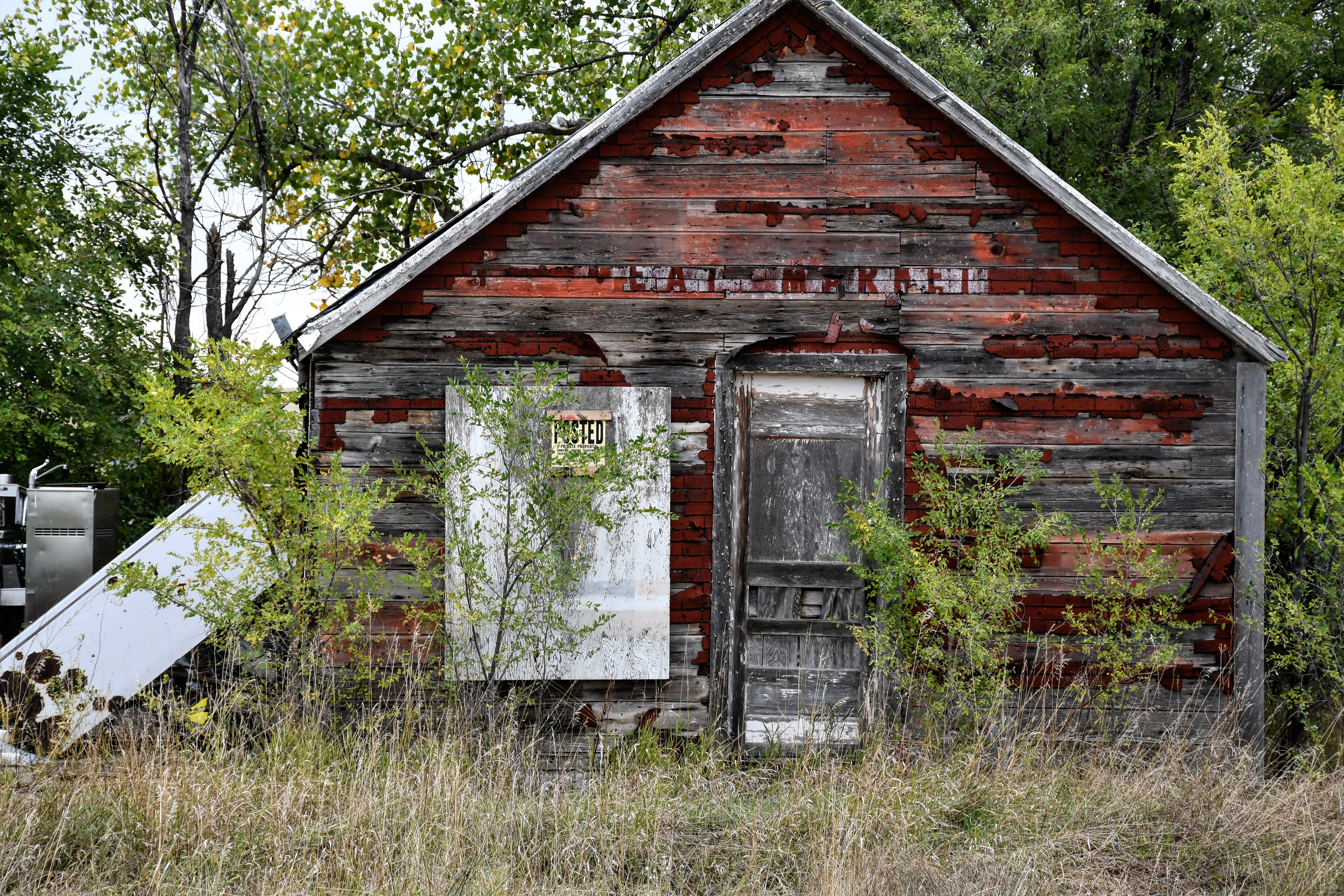
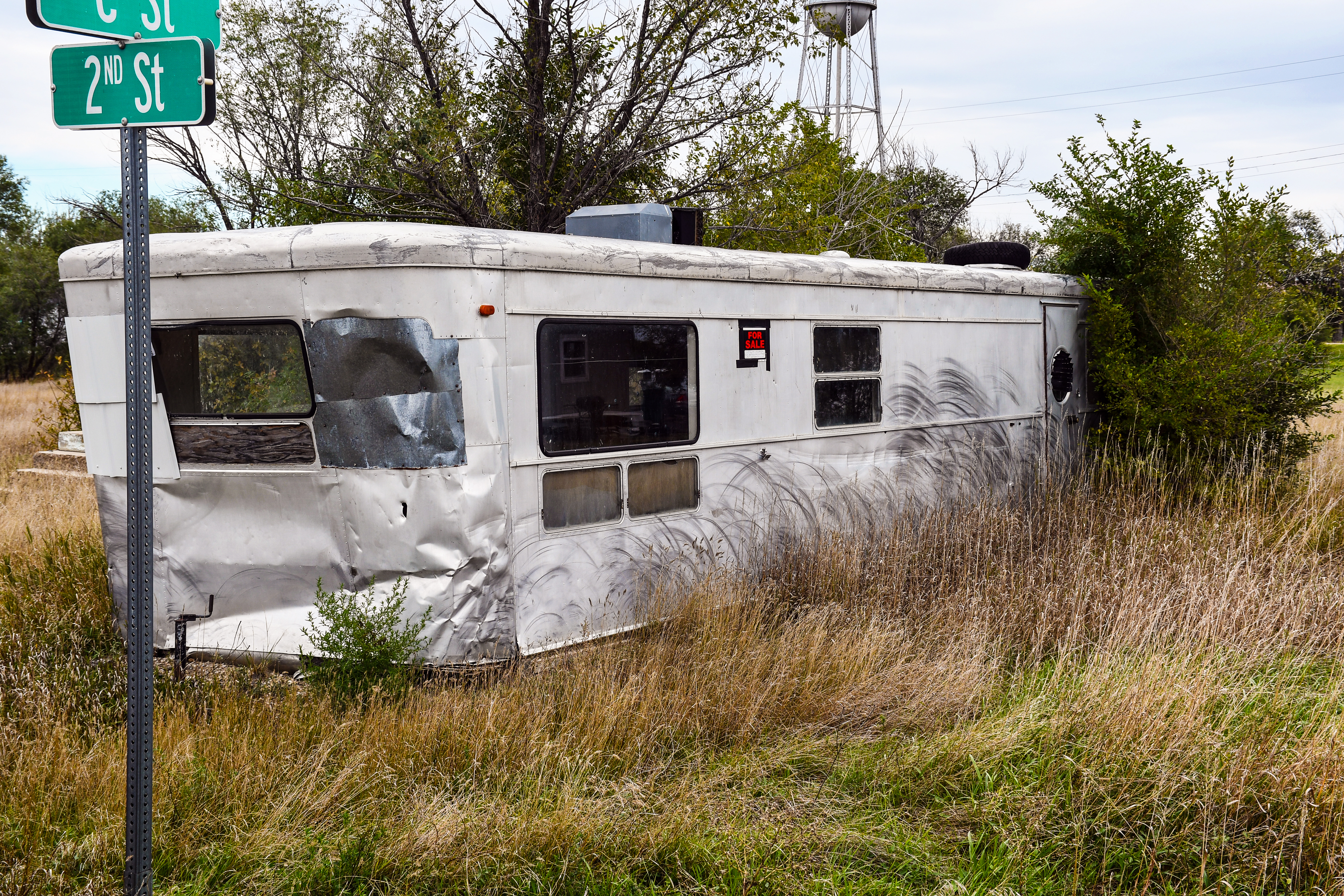
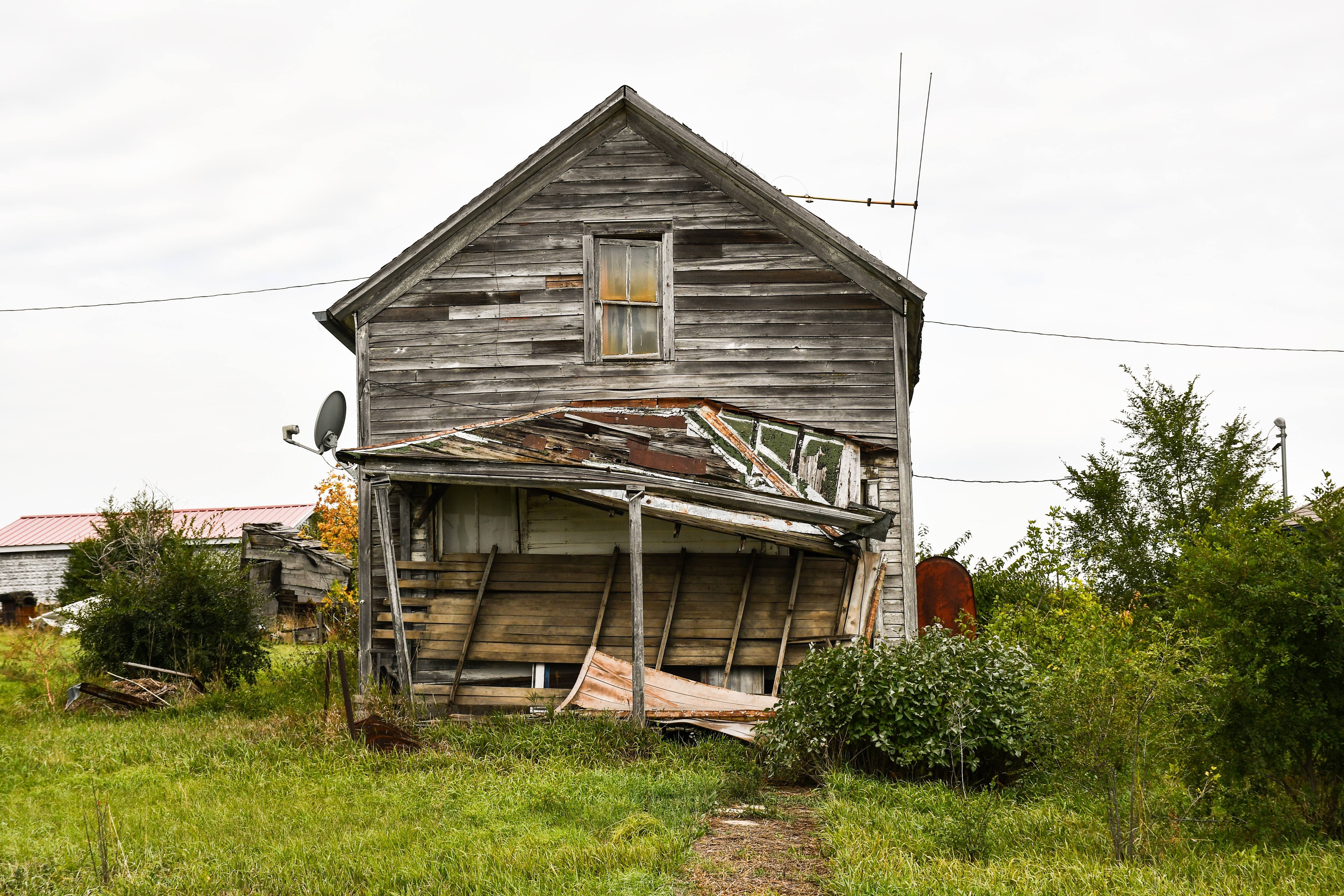
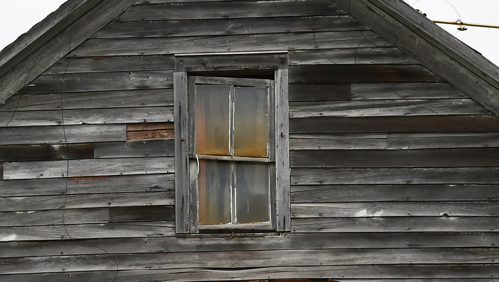
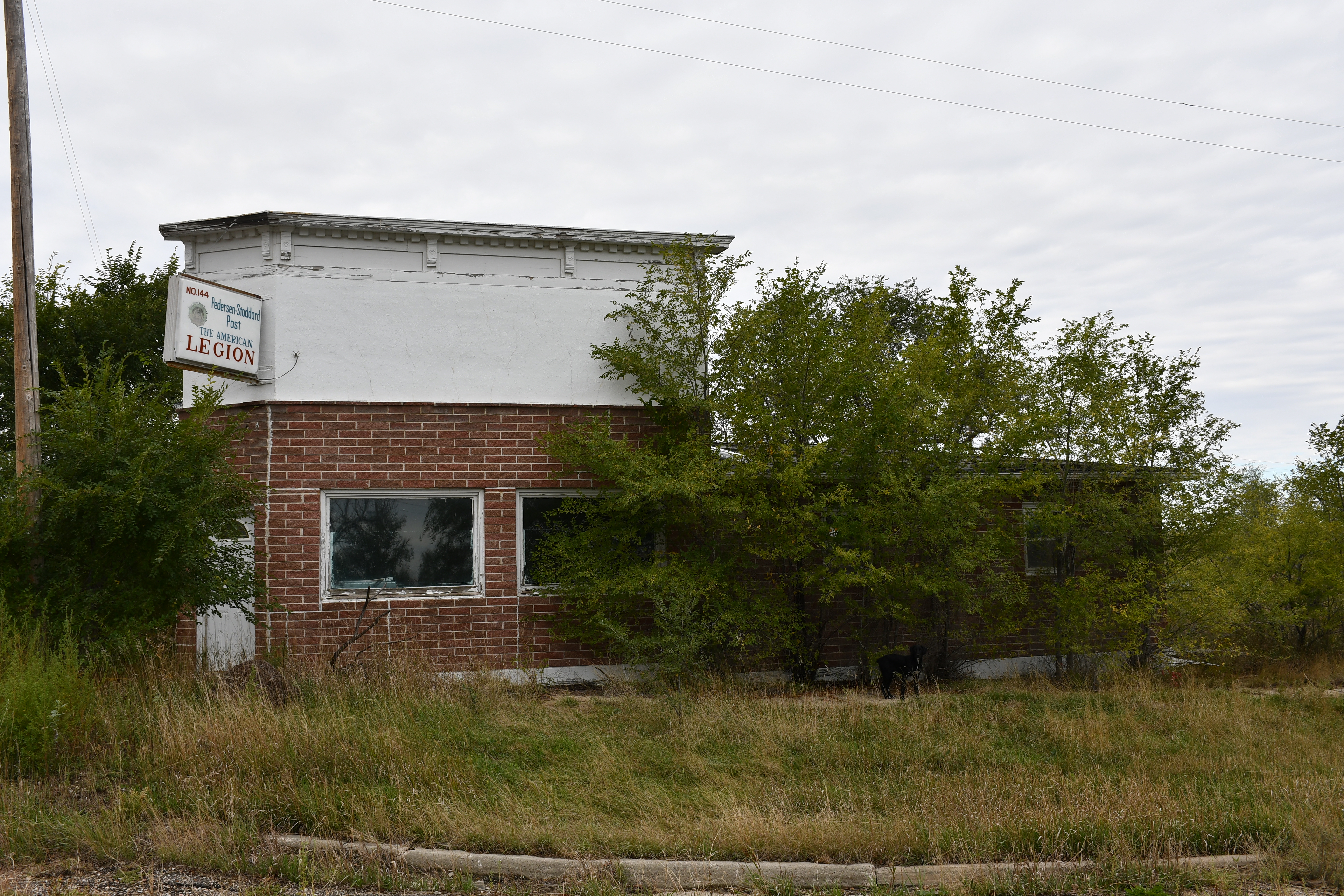
On our 16,000+ Kilometer (10,000 miles) trip this summer, we came back through South Dakota. Like almost all rural places, the tiny towns of the Dakota plains have been hit hard through the years. Their purpose long taken over by a few bigger towns or cities. I have an affinity for these sad places. Belvidere is only one. I don’t choose it to make light; it is merely one of the many we visited. There is an archeology of hope and dreams and Belvidere is rich in the artifacts of lost community life.